
Area 678 km² | ||
 | ||
Website | ||
Youthconnekt dialogue in ngororero district during the official launching of youthconnektmonth
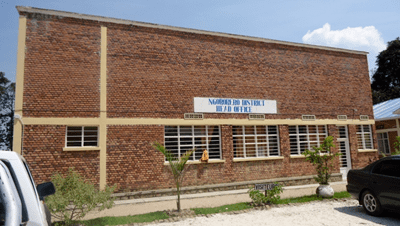
Ngororero District is a district (akarere) in Western Province, Rwanda. Its capital is the town of Ngororero.
Contents
Closing of the 11th best performing girls campaign ngororero district 3 april 2016
Location
The district is one of the five districts that comprise Rwanda's Western Province. It is bordered by Nyabihu District to the north, Gakenke District to the northwest, Rutsiro District to the west and Karongi District to the south; all in Western Province. Muhanga District in Southern Province, lies to the east of Ngororero District. The district's main town of Ngororero, lies about 59 kilometres (37 mi), by road, northwest of Kigali, the capital of Rwanda and the largest city in that country. The coordinates of Ngororero District are:1° 52'S, 29° 39'E (Latitude:-1.866667; Longitude:29.650000).
Sectors
Ngororero district is divided into 13 sectors (imirenge): Bwira, Gatumba, Hindiro, Kabaya, Kageyo, Kavumu, Matyazo, Muhanda, Muhororo, Ndaro, Ngororero, Nyange and Sovu.
Population
In 2002, the population of Ngororero District was estimated at 282,249 people.