
Postcode(s) 6743 Mean max temp Mean min temp 32.3 °C 16.4 °C Postal code 6743 | Mean min temp Annual rainfall Elevation 47 m | |
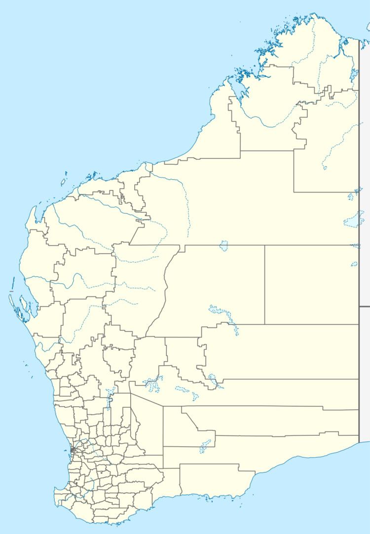 | ||
Location 300 km (186 mi) south west of Kununurra Lga Shire of Wyndham-East Kimberley | ||
Ngallagunda is a medium-sized Aboriginal community, located in the Kimberley Region of Western Australia, within the Shire of Wyndham-East Kimberley.
Contents
Native title
The community is located within the fully Determined Wanjina-Wunggurr Wilinggin (WAD6016/96) Native Title claim area.
Governance
The community is managed through its incorporated body, Ngallagunda Aboriginal Corporation, incorporated under the Aboriginal Councils and Associations Act 1976 on 13 October 1989.
Town planning
Ngallagunda Layout Plan No.2 has been prepared in accordance with State Planning Policy 3.2 Aboriginal Settlements. Layout Plan No.2 was endorsed by the community on 7 July 2010 and the WAPC on 14 December 2010. The Layout Plan map-set and background report can be viewed at Planning Western Australia official site.
Climate
The nearby Mount Elizabeth Weather Station is the most northerly place in Australia to record a temperature below freezing. It dropped to -1.3 °C (29.7 °F) on the 26 June 1998. This is also the coldest temperature recorded in the Kimberly region.