
 | ||
Similar Neyyar Dam, Agastya Mala, Meenmutty Falls - Thiruvananthapuram, Lion Safari Park, Shankumugham Beach | ||
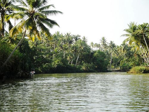
The Neyyar River is a river of south-western India in the Western Ghats. It flows from the Agastya Mala (also known as Agastyarkoodam) hills in of Thiruvananthapuram District of Kerala state.
Map of Neyyar, Kerala
The river passes through Neyyattinkara taluk into the Lakshadweep Sea near Poovar. It has a total length of 56 km. Tributaries include the Kallar (river), Mullayar River, and the Karavaliyar River. It has several small canals along the river and the Neyyar Irrigation Project, "Neyyar Dam", is situated in this river. A safari park is located near the river. Neyyar river has been severely affected by sand mining.
The catchment area is mostly forested, command area is under mixed dry land crops such as coconut, tapioca, pepper, plantain, rice, etc.
References
Neyyar (river) Wikipedia(Text) CC BY-SA