
Population Newtownabbey | ||
Area Newtownabbey shown within Northern Ireland | ||
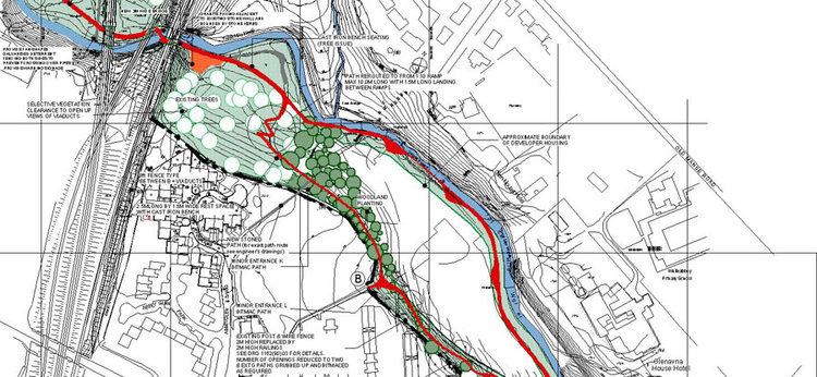
Map of Newtownabbey
Newtownabbey is a large settlement north of Belfast in County Antrim, Northern Ireland. Sometimes considered to be a suburb of Belfast, it is separated from the rest of the city by Cavehill and Fortwilliam golf course. At the 2001 Census, Newtownabbey Urban Area had a population of 62,056, making it the fourth largest settlement in Northern Ireland. It is part of Antrim and Newtownabbey Borough Council.
Contents
- Map of Newtownabbey
- Spark newtownabbey 2014
- History
- The Troubles
- Townlands
- Electoral areas and wards
- Demography
- Education
- Sport
- Churches
- Trains
- Buses
- Roads
- Twin towns
- References
Largely a residential area, Newtownabbey is also home to many engineering and computer industries. Retail and leisure facilities include the Abbey Centre, the Valley Leisure Centre, the Ballyearl Arts & Leisure Centre, The Theatre at the Mill, Glengormley Moviehouse, Glengormley Sportsbowl and three large public parks. The main campus for the University of Ulster is based in the Jordanstown area of Newtownabbey. Although the Jordanstown campus of the University of Ulster is due to merge with the current Belfast campus which is due to be completed by 2018.
Spark newtownabbey 2014
History
Newtownabbey was formed by the merging of seven villages; Carnmoney, Glengormley, Jordanstown, Monkstown, Whiteabbey, Whitehouse and Whitewell. It was formally brought into being on 1 April 1958. Before its inception the expanse fell under the jurisdiction of the Belfast Rural District Council.
The timeline of the local government authority is: Newtownabbey Urban District Council (1958–1973), Newtownabbey District Council (1973–1977), Newtownabbey Borough Council (1977–2015) and Antrim & Newtownabbey District Council (2015– ).
The Troubles
For more information see The Troubles in Newtownabbey, which includes a list of incidents in Newtownabbey during The Troubles resulting in two or more deaths.
Townlands
Below is a list of townlands that are within Newtownabbey's urban area, alongside their likely etymologies.
* citation for derivations
The following housing estates have Irish-derived names, although they are not named after townlands:
Electoral areas and wards
Until 2014 Newtownabbey operated under its own council comprising Ballyclare, Glengorley, Jordanstown, Carnmoney, Mallusk and Rathcoole. However, from 2014 it has operated as a larger Council after merging with Antrim to create Antrim and Newtownabbey Borough Council. The current electoral ward and areas are:
(Aldergrove, Clady, Crumlin, Mallusk, and Templepatrick)
(Antrim Centre, Fountain Hill, Greystone, Springfarm, Steeple, and Stiles)
(Ballyclare East, Ballyclare West, Ballynure, Ballyrobert, and Doagh)
(Cranfield, Parkgate, Randalstown, Shilvodan, and Toome)
(Ballyhenry, Burnthill, Carnmoney, Collinbridge, Glebe, Glengormley, and Hightown)
(Abbey, Carnmoney Hill, O'Neill, Rathcoole, Valley, and Whitehouse)
(Ballyduff, Fairview, Jordanstown, Monkstown, Mossley, and Rostulla)
Demography
Newtownabbey Urban Area is classified as a large town (i.e. with population between 18,000 and 75,000 people in the 2001 census) by the Northern Ireland Statistics and Research Agency (NISRA) and is within the Belfast Metropolitan Urban Area (BMUA). On Census day (27 March 2011) there were 85,139 people living in Newtownabbey. Of these:
Education
Sport
Churches
Trains
Northern Ireland Railways runs trains serving three railway stations: Mossley West railway station on the Belfast–Derry railway line and Jordanstown railway station and Whiteabbey railway station on the Belfast–Larne railway line.
Connecting trains run on the Belfast-Derry railway line from Mossley West, "Northbound" to: Antrim, Ballymena, Ballymoney, Coleraine (for the branch to University (Coleraine), Dhu Varren and Portrush), Castlerock, Bellarena, Londonderry. And "Southbound" to Yorkgate, Belfast Central (change for Belfast-Bangor railway line and the Enterprise), Botanic, City Hospital, Belfast Great Victoria Street and onwards.
Whilst the Belfast-Larne railway line serving Whiteabbey and Jordanstown and connects with other stations including the principal stations of Carrickfergus, Whitehead, Larne Town and Larne Harbour, heading "Northbound". And heading "Southbound" the same stations as listed above apply.
Buses
Bus services are provided by Metro.
Roads
Newtownabbey is linked to the M2 motorway (which passes through it) and the M5 motorway (which begins at its southeastern edge).
Twin towns
Newtownabbey is twinned with:
Newtownabbey has one sister city, as designated by Sister Cities International: