
 | ||
Countries Republic of Ireland, Northern Ireland, United Kingdom | ||
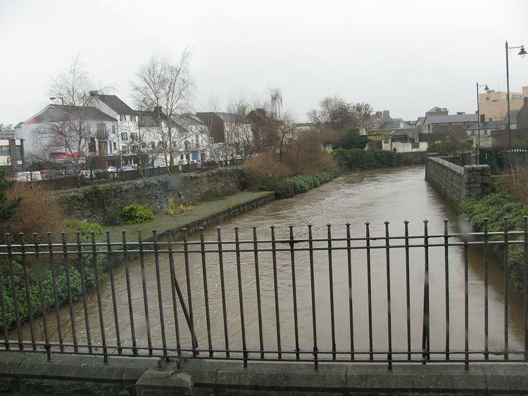
Newry River and River Clanrye (Irish: An Rí) are names for one of the rivers of Ireland; it passes through the city of Newry and empties into Carlingford Lough near Warrenpoint. The River which runs through Newry, forms the historic border between County Armagh and County Down. Some maps call the portion downstream from Newry to the Lough the 'Newry River' and the portion upstream of Newry the 'Clanrye' (as it curls around to its sources in the foothills of the Mourne Mountains in Ulster), but not all sources make this distinction.
Contents
Map of Newry River
The word 'Clanrye' comes from the Irish An Gleann Rí meaning The King's Valley.
While the Newry River flows under the famous Newry Town Hall, according to the Ordnance Survey of Northern Ireland,[1] the Clanrye breaks away from the Newry River near[Drummillar. The Clanrye then progresses under the main Belfast to Dublin A1 road at Sheepbridge and onward toward the Mayobridge Road at the Crown Bridges and Ashtree Cottages. According to local tradition, however, the entire waterway is known as the Clanrye.
Saint PatrickEdit
During one of Saint Patrick's exploratory missions to Ireland he set up camp on a sandy stretch of the Clanrye River. Whilst settling himself there he took the decision to plant a yew tree symbolising Ireland’s growing and strengthening faith. It is this story which gave Newry its name, Iúr Cinn Trá: the yew tree at the head of the strand (although this part of the riverbank does not resemble a beach today). A monastery, later replaced in 1144 by a Cistercian Abbey,[2] grew up around this yew.