
Country United States FIPS code 27-45520 Elevation 334 m Zip code 56738 Local time Sunday 3:13 AM | Time zone Central (CST) (UTC-6) GNIS feature ID 0648528 Area 231 ha Population 368 (2013) Area code 218 | |
 | ||
Weather 0°C, Wind SE at 10 km/h, 91% Humidity | ||
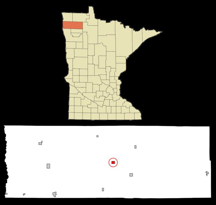
Newfolden is a city in Marshall County, Minnesota, along the Middle River. The population was 368 at the 2010 census. Old Mill State Park is nearby.
Contents
Map of Newfolden, MN 56738, USA
History
A post office called Newfolden has been in operation since 1896. The city was named after Folden, in Norway.
Geography
According to the United States Census Bureau, the city has a total area of 0.89 square miles (2.31 km2), all of it land.
2010 census
As of the census of 2010, there were 368 people, 156 households, and 94 families residing in the city. The population density was 413.5 inhabitants per square mile (159.7/km2). There were 176 housing units at an average density of 197.8 per square mile (76.4/km2). The racial makeup of the city was 97.0% White, 0.3% African American, 2.2% Native American, and 0.5% from two or more races.
There were 156 households of which 33.3% had children under the age of 18 living with them, 47.4% were married couples living together, 7.1% had a female householder with no husband present, 5.8% had a male householder with no wife present, and 39.7% were non-families. 35.9% of all households were made up of individuals and 12.2% had someone living alone who was 65 years of age or older. The average household size was 2.36 and the average family size was 3.00.
The median age in the city was 33.8 years. 29.9% of residents were under the age of 18; 5.6% were between the ages of 18 and 24; 29% were from 25 to 44; 19.5% were from 45 to 64; and 15.8% were 65 years of age or older. The gender makeup of the city was 49.2% male and 50.8% female.
2000 census
As of the census of 2000, there were 362 people, 160 households, and 94 families residing in the city. The population density was 404.9 people per square mile (157.0/km²). There were 176 housing units at an average density of 196.8 per square mile (76.4/km²). The racial makeup of the city was 99.17% White, 0.55% African American, 0.28% from other races. Hispanic or Latino of any race were 0.83% of the population.
There were 160 households out of which 30.6% had children under the age of 18 living with them, 46.3% were married couples living together, 8.1% had a female householder with no husband present, and 41.3% were non-families. 39.4% of all households were made up of individuals and 23.8% had someone living alone who was 65 years of age or older. The average household size was 2.26 and the average family size was 3.04.
In the city, the population was spread out with 28.7% under the age of 18, 8.0% from 18 to 24, 22.9% from 25 to 44, 16.9% from 45 to 64, and 23.5% who were 65 years of age or older. The median age was 39 years. For every 100 females there were 87.6 males. For every 100 females age 18 and over, there were 88.3 males.
The median income for a household in the city was $26,818, and the median income for a family was $37,917. Males had a median income of $26,071 versus $18,542 for females. The per capita income for the city was $14,195. About 6.1% of families and 12.0% of the population were below the poverty line, including 17.5% of those under age 18 and 19.8% of those age 65 or over.
Schools
Climate
Due to its location in the Central Plains and its distance from both mountains and oceans, the city has an extreme continental climate. The city is known for its long, cold and snowy winters. In sharp contrast summers are warm to hot, and often quite humid with frequent thunderstorms. Spring and autumn are short and highly variable seasons.