
Country United States Time zone CST (UTC-6) Elevation 225 m Local time Sunday 2:47 AM | Established November 8, 1859 GNIS feature ID 0429433 Area 94.2 km² Population 1,292 (2010) | |
 | ||
Weather 14°C, Wind SE at 16 km/h, 91% Humidity | ||
Newcomb Township is a township in Champaign County, Illinois, USA. As of the 2010 census, its population was 1,292 and it contained 492 housing units.
Contents
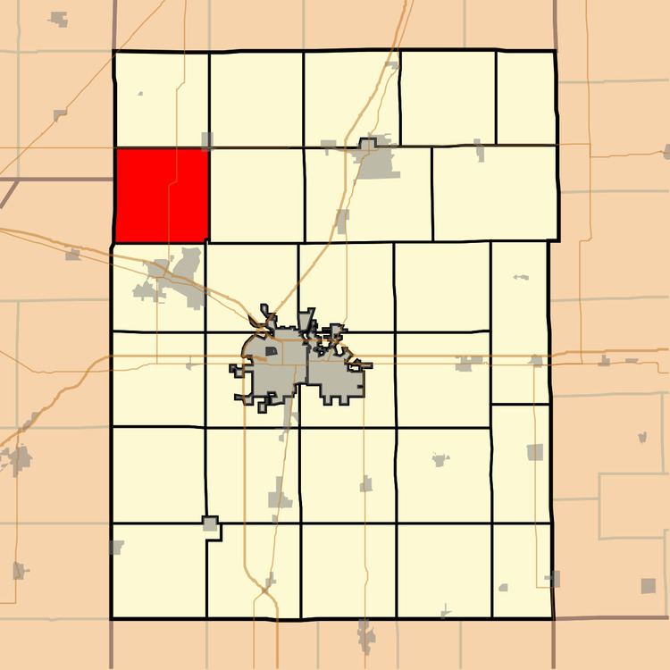
- Map of Newcomb Township IL USA
- Geography
- Cities and towns
- Natural gas storage area
- Cemeteries
- Major highways
- Airports and landing strips
- References
Map of Newcomb Township, IL, USA
Geography
According to the 2010 census, the township has a total area of 36.37 square miles (94.2 km2), of which 36.22 square miles (93.8 km2) (or 99.59%) is land and 0.15 square miles (0.39 km2) (or 0.41%) is water. Illinois Route 47 crosses the township from north to south. U.S. Route 136 forms the northern boundary. The historically registered Hazen Bridge crosses the Sangamon River in the eastern part of this township.
Cities and towns
Natural gas storage area
Though the township is mostly farmland, it also contains the Manlove Field Natural gas storage area operated by Peoples Gas Light & Coke Company.(40°14′33″N 088°25′17″W) The storage facility is an underground aquifer opened in 1966 capable of storing around 150 billion cubic feet (4.2×10⁹ m3)[1] of natural gas for delivery to the Chicago area via connected pipelines. Peoples gas holds property easements covering around 32,000 acres (129.5 km2) for the storage facility and co-located liquefied natural gas (LNG) plant.[2]
Cemeteries
The township contains three cemeteries: Naylor, Shiloh and Willowbrook.