
OS grid reference SO448173 Country Wales Postcode district NP25 Local time Sunday 8:35 AM | Sovereign state United Kingdom Dialling code 01600 | |
 | ||
Weather 4°C, Wind NE at 19 km/h, 73% Humidity | ||
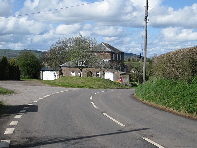
Newcastle (Welsh: Castell-newydd) is a small village in Monmouthshire, south east Wales, United Kingdom. It is located in quiet rolling countryside 6 miles (9.7 km) north west of Monmouth and 9 miles (14 km) east of Abergavenny, on the B4347 road, within the community of Llangattock-Vibon-Avel.
Contents
Map of Newcastle, Monmouth, UK
History and amenities
Newcastle has a Norman motte and bailey castle site, from which it derives its name. Its history is obscure, but it is believed to have been founded by Hugh de Lacy, lord of Ewyas in the 12th century, and in the reign of Edward III it belonged to the Huntley family. The remains of the castle are on private land. The bailey is defended by a banked ditch, but the oval motte and surrounding wet ditch have been damaged by farm buildings. It commands extensive views to the west, towards the valley of the River Trothy.
Pool Farm, nearby, is described as "one of the most completely surviving cruck-trussed hall houses in the county", and is a Grade II listed building. About 1 mile (1.6 km) north of the village is the Victorian Palladian mansion of Hilston Park, now used as an outdoor education centre.