
Status: Revoked South end: at Masterton | North end: at Waipukurau | |
 | ||
Primary
destinations: Porangahau, Weber, Pongaroa Major cities Masterton, Waipukurau, Porangahau | ||
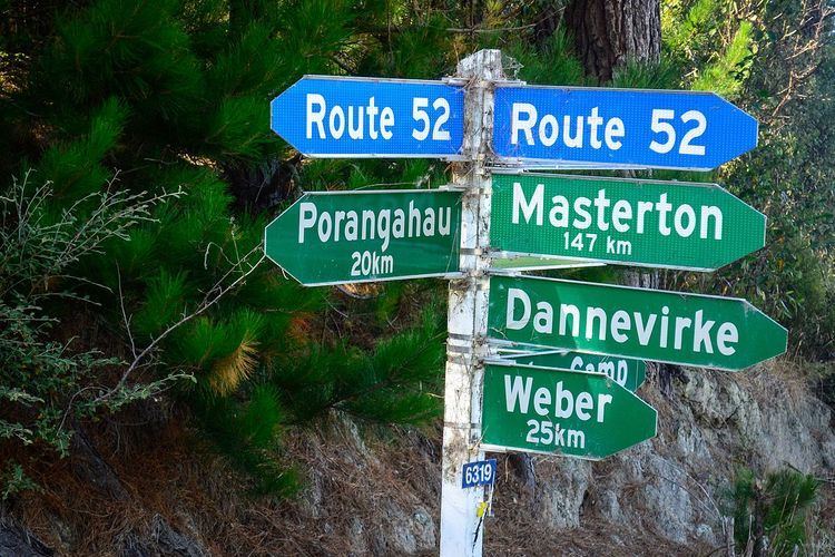
State Highway 52 is a former state highway now reclassified Route 52. It runs from Waipukurau, Central Hawkes Bay, to Masterton in the Wairarapa through Porangahau on the east coast and the Weber and Pongaroa hill country on the lower eastern side of the North Island.
Contents
History
Route 52 runs south through southern Hawkes Bay and the Tararua District to the Wairarapa passing through the coastal side of the one-time very dense forest of the Seventy Mile Bush, known at its southern end as the Forty Mile Bush.
The 26 miles of road was approved by Provincial Council in April 1859 and constructed over the next year but, five years later, passage was still difficult.
By 1864 a road reached Wainui — renamed Herbertville in 1889 — though bridges still had to be made. A separate Weber Road Board was established in 1890, an offshoot of the Porangahau Road Board.
John O'Meara successfully campaigned for the Pahiatua seat in the 1896 general election. Part of his platform was that land should be roaded before new settlers were obliged to live on that land to keep their title. At an election meeting in Woodville he claimed to have never before seen such a place as the road between Pongaroa and Weber. Nineteen (pack)horses had been lost on that road that winter. In January it was announced roadworks at Pongaroa would recommence around the end of the month. Six parties of "co-operative labourers" duly began forming the road between Makuri and Pongaroa before the month was out.
In June the Ashburton Guardian said the road to Pongoroa is so bad it takes fourteen bullocks to haul just two tons to the township. While passable by a light vehicle in summer in winter or after heavy rain the banks slipped and the road had to be made over and over again. The same geological structure brought complaints from settlers that the ground did not drain properly and counter to its appearance had low fertility.
By 1903 the roading position had improved to the point where the major concern was what proportions of the cost should be borne by central government and the Road Board's ratepayers.
A route was surveyed by the Provincial Engineer in 1866. There was pressure from ratepayers to limit new roads to those leading to the coast (Castlepoint) on the grounds that sea transport was more economical and roads were used once-weekly by coach services considered "the luxury of wealthy squatters". However, by May 1885 a local newspaper was able to report the completion of the 80 foot span of the bridge over the Ihuraua river and described the new bridge as the key to the Alfredton and Tiraumea districts.
Downgrade
Route 52, upgraded to a State Highway about 1960, lost its state highway status because usage did not grow but fell away as prosperity deserted New Zealand's farming industry. Farmers shed staff and cut back development. Farming districts became depopulated and the intervening settlements failed to grow. Nevertheless, Route 52 remains the only road access to large areas of highly productive hill country farmland.
Once serviced by coastal steamers remote areas like Akitio and Herbertville are accessed through Route 52's links to State Highway 2.
Because of its scenic qualities it is now a cycle touring route and noted by some as one of the must drive roads in New Zealand. The road is relatively narrow and winds through steep hill country. Wandering livestock and stock trucks are hazards.
Route
Route 52 leaves Waipukurau at its intersection with SH 2. From there it passes through numerous small farm settlements. Heading south-east the highway goes to the coastline at Porangahau through Wanstead and Wallingford where it turns back inland in a SSW direction. From there it passes through Weber, Waione, Pongaroa, and Tiraumea before heading west to Alfredton. From Alfredton it heads in more southerly direction to Ihuraua along Whangaehu Valley Road to Lansdowne, Masterton.
Taumata
A few kilometres south of Porangahau Route 52 passes a hill with one of the world's longest place names, Taumatawhakatangihangakoauauotamateapokaiwhenuakitanatahu. A Maori word meaning "The place where Tamatea, the man with the big knees, who slid, climbed and swallowed mountains, known as 'landeater', played his flute to his loved one".