
Length 14 km | ||
 | ||
North-east end: SH 1 Northern Motorway, Meadowood, North Shore South-west end: SH 16 Northwestern Motorway, West Harbour, Waitakere Primary
destinations: Greenhithe, Hobsonville | ||
State Highway 18 (SH 18) is a state highway that runs between the Auckland Northern Motorway (SH 1) on the North Shore and the Northwestern Motorway (SH 16) in Waitakere in Auckland, New Zealand. The Upper Harbour Motorway forms most of its length as of 2016 (the exception being a two-kilometre stretch at the north-eastern end). SH 18 forms the northern part of the Western Ring Route, which continues from Waitakere south-east to Manukau.
Contents
Map of State Highway 18, Auckland, New Zealand
Route
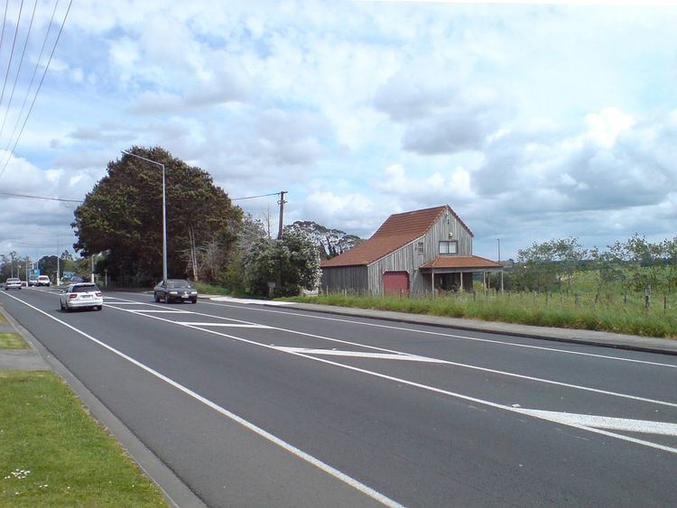
SH 18 begins at the Auckland Northern Motorway, as a dual carriageway road, heading west on Upper Harbour Highway, after two kilometres becoming a motorway at the Albany Highway interchange. This four-lane section of motorway opened in December 2007, and bypassed the single carriageway Upper Harbour Drive. The motorway heads south-west, crossing the upper reaches of the Waitemata Harbour over the Upper Harbour Bridge. At Squadron Drive, the highway extends onto a new section of motorway, which opened in August 2011, bypassing Hobsonville Road. This road cuts across in a southwestern direction across farmland to Westgate, where it turns southward and merges with the Northwestern Motorway (SH 16) southbound. Motorists wishing to travel north onto SH 16 can cut across by taking the Brigham Creek Road or Trig Road exits.
Former route
SH 18 formerly ran along the Coatesville Riverhead Highway, further north than its current position. This route is now designated as Auckland Urban Route 28.
Cycleway
The route of the new motorway from Upper Harbour Bridge to Westgate was originally to receive a cycleway as well, but although the land was set aside, there is no timetable for the construction of the route.