
 | ||
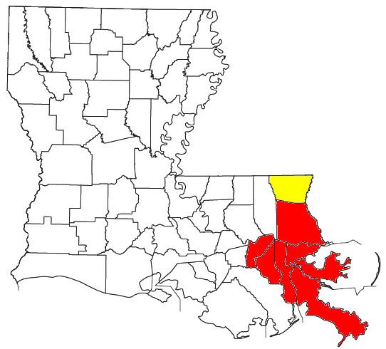
The New Orleans–Metairie–Hammond combined statistical area is made up of ten parishes in southeastern Louisiana and one county in Mississippi. The statistical area consists of the New Orleans metropolitan statistical area (MSA), Hammond, Louisiana, metropolitan statistical area, Picayune, Mississippi, micropolitan statistical area (μSA), and the Bogalusa micropolitan statistical area. As of the 2012 census estimates, the CSA had a population of 1,452,502.
Contents
The area was severely affected by Hurricane Katrina in 2005.
Parishes and counties
Places with more than 50,000 inhabitants
Demographics
As of the census of 2000, there were 1,360,436 people, 515,054 households, and 347,173 families residing within the CSA. The racial makeup of the CSA was 57.7% White, 37.2% African American, 0.4% Native American, 2.1% Asian, <0.1% Pacific Islander, 1.2% from other races, and 1.4% from two or more races. Hispanic or Latino of any race were 4.3% of the population.
The median income for a household in the CSA was $37,053, and the median income for a family was $42,860. Males had a median income of $35,659 versus $23,150 for females. The per capita income for the CSA was $17,474.