
Length 25.3 km | Counties: Bernalillo | |
 | ||
South end: Four Hills Rd. in Albuquerque | ||
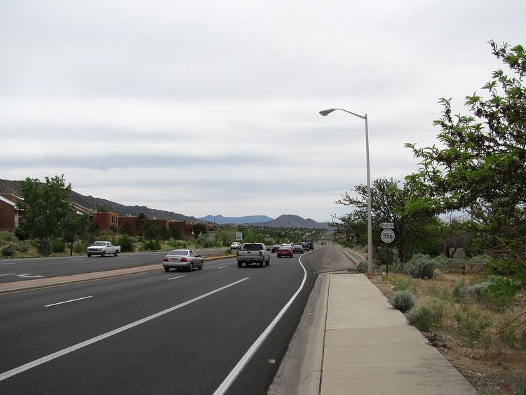
New Mexico State Road 556 is a 15.7 mi (25.3 km) long state highway entirely within Bernalillo County, New Mexico. For most of its length, NM-556 is signed as Tramway Boulevard in Albuquerque, paralleling the Sandia Mountains, although from I-25 to its western terminus at Highways 47 and 313, NM-556 is signed as Roy Road. The highway's southern terminus is at an intersection with New Mexico State Road 333, or Central Avenue. The highway then moves north intersecting with Interstate 40. The highway is a divided four-lane road until its intersection with Tramway Road. After that, the highway narrows to two lanes and takes a westerly turn to intersect with Interstate 25. The highway's northern terminus is at an intersection with New Mexico State Road 313 and New Mexico State Road 47.