Neha Patil (Editor)

New Hope, Indiana

Updated on
Edit
Like
Comment
Share on FacebookTweet on TwitterShare on LinkedInShare on Reddit
Country
  
United States

County
  
Owen

GNIS feature ID
  
0440057

Zip code
  
47460

State
  
Indiana

Time zone
  
Eastern (EST) (UTC-5)

Elevation
  
159 m

Area code
  
812

New Hope, Indiana

Weather
  
17°C, Wind SE at 16 km/h, 65% Humidity

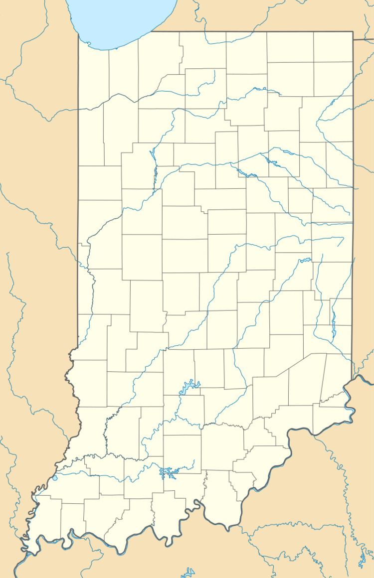
New Hope is an unincorporated community in the southeast corner or of Franklin Township, Owen County, Indiana, United States. It lies near the intersection of County Road 740 South (a.k.a. Freedom-New Hope Road) and County Road 285 West (a.k.a. Pottersville-New Hope Road), which is a community about nine miles southwest of the city of Spencer, the county seat. Its elevation is 522 feet (159 m), and it is located at 39°10′59″N 86°49′40″W (39.1831004 -86.8277840).

Contents

History

The community took its name from the local New Hope Church.

Geography

  • This community lies on the east bank of Raccoon Creek, just north of where Lick Creek flows into it.
  • Burton Cemetery is about two miles northwest of this community, and it is located on County Road 415 West (a.k.a. Freedom-New Hope Road) just south of Badger Lane at 39°11′32″N 86°50′19″W (39.1922668 -86.8386176).
  • Camden Cemetery is about two miles southeast of this community, and it is located on County Road 240 West Road, on the west bank of Lick Creek at 39°10′9″N 86°48′43″W (39.1692118 -86.8119501).
  • Leach Cemetery is about two miles northwest of this community, and it is located on County Road 600 South (a.k.a. Freedom Road) at 39°12′19″N 86°50′35″W (39.2053223 -86.8430623).
  • Neely Cemetery is about one mile northwest of this community, and it is located on County Road 415 West (a.k.a. Freedom-New Hope Road) just south of Badger Lane at 39°11′33″N 86°50′31″W (39.1925446 -86.8419510).
  • Oliphant Cemetery is about one mile northeast of this community, and it is located on and County Road 285 West (a.k.a. Pottersville-New Hope Road) just south of County Road 600 South (a.k.a. Freedom Road) at 39°12′7″N 86°49′17″W (39.2019891 -86.8213952).
  • Pryor Cemetery is about one mile east of this community, and it is located on and County Road 775 South, near its intersection with County Road 240 West and south of Porter Ridge at 39°10′38″N 86°48′40″W (39.1772672 -86.8111169).
  • Waker Cemetery is about a half a mile east of this community, and it is located on and County Road 750 South (a.k.a. Porter Ridge Road), just south of its intersection with County Road 265 West at 39°10′46″N 86°49′10″W (39.1794893 -86.8194504).
  • School districts

  • Spencer-Owen Community Schools, including a high school.
  • Political districts

  • State House District 46
  • State Senate District 39
  • Entertainment

  • This community is about two miles west of the Country Auto Parts, the business that was the center of the 2013 one-season reality TV-show, Porter Ridge.
  • References

    New Hope, Indiana Wikipedia