
Length 31.68 km | ||
 | ||
County Coös County, New Hampshire | ||
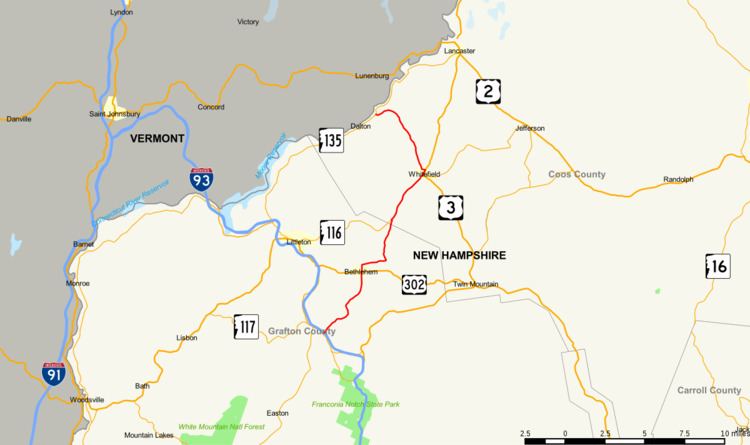
New Hampshire Route 142 (abbreviated NH 142) is a 19.688-mile-long (31.685 km) north–south state highway in northern New Hampshire. The highway runs between Franconia in the White Mountains Region to Dalton in the upper Connecticut River valley.
Map of NH-142, New Hampshire, USA
The southern terminus of NH 142 is at the junction with New Hampshire Route 18 in Franconia. The highway winds north through Bethlehem and Whitefield, then turns northwest to Dalton. NH 142 runs concurrently with New Hampshire Route 116 for 3.659 miles (5.889 km) in Whitefield. The northern terminus is in Dalton at New Hampshire Route 135, the Connecticut River Road.
References
New Hampshire Route 142 Wikipedia(Text) CC BY-SA