
Length 534 mi (859 km) Trail difficulty Moderate to strenuous | Use Hiking, Snowshoeing Trailheads Fort Lee, North Troy | |
 | ||
Location New Jersey / New York / Connecticut / Massachusetts / Vermont Highest point Mount Mansfield 4,393 ft (1,339 m) Lowest point Bear Mountain Bridge 124 ft (38 m) | ||
New england traverse december
The New England Traverse is a wilderness footpath traveling from Manhattan to Canada. The route is 534 miles (859 km) long and uses three designated hiking trails, spanning five states, three geographic regions and three unique biomes, producing over 500,000 acres (200,000 ha) of conserved public land.
Contents
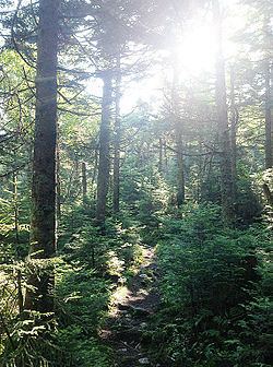
Making use of the Long Path, the Appalachian Trail and the Long Trail, the route traverses the Hudson Highlands, the Berkshires and the Green Mountains regions, while traveling through eastern woodland, sub-alpine boreal forest and alpine tundra biomes. Some notable conserved lands that are crossed include the Palisades Interstate Park, Bear Mountain State Park, Mount Greylock State Reservation, Mount Mansfield State Forest, Camel's Hump State Forest, and the Green Mountain National Forest. The trail sections used by the traverse are maintained by the New York–New Jersey Trail Conference, the Appalachian Mountain Club, the Appalachian Trail Conservancy and the Green Mountain Club.
New england traverse september 2015
Route
The route follows the first section of the Long Path outside of New York City, where it follows the Palisades to the Hudson Highlands and joins the Appalachian Trail. The New England Traverse then follows the Appalachian Trail through the Berkshires to the Green Mountains where it joins the Long Trail north to the Canada–US border.