
FIPS code 39-54264 Elevation 250 m Population 5,069 (2010) | State Ohio Time zone Eastern (EST) (UTC-5) GNIS feature ID 1065112 Area 7.9 km² | |
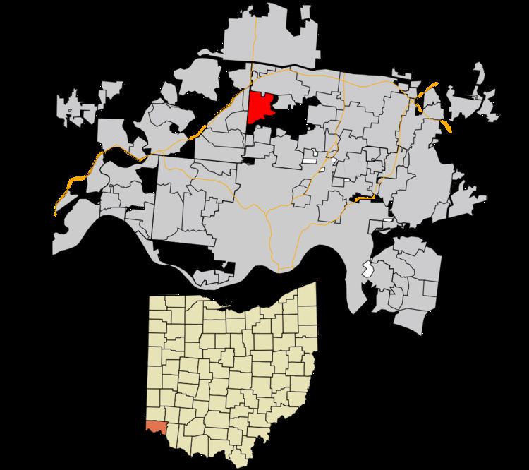 | ||
New Burlington is a census-designated place (CDP) in Springfield Township, Hamilton County, Ohio, United States. The population was 5,069 at the 2010 census.
New Burlington was laid out by John Pegg in 1816.
Geography
New Burlington is located at 39°15′34″N 84°33′25″W, 12 miles (19 km) north of downtown Cincinnati. U.S. Route 127 (Hamilton Avenue) is the main road through the area, running north towards Hamilton and south through Mount Healthy into downtown Cincinnati. Neighbors of New Burlington include Forest Park to the north, Greenhills to the east, Mount Healthy to the south, Northbrook to the southwest, and Mount Healthy Heights to the west.
According to the United States Census Bureau, the CDP has a total area of 3.1 square miles (7.9 km2), all land.