
Country United States County Hamilton FIPS code 39-32158 Elevation 245 m Zip code 45218 Local time Thursday 9:37 PM | State Ohio Time zone Eastern (EST) (UTC-5) GNIS feature ID 1064757 Area 3.24 km² Population 3,599 (2013) Area code 513 | |
 | ||
Weather 11°C, Wind N at 16 km/h, 42% Humidity | ||
Greenhills is a village in Hamilton County, Ohio, United States. The population was 3,615 at the 2010 census. It is a planned community that was established by the United States government during the Great Depression.
Contents
Map of Greenhills, OH, USA
History and significance
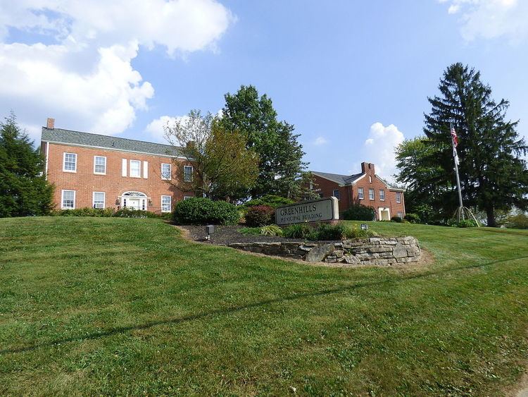
As one of three "Greenbelt Communities" built by the short-lived Resettlement Administration during the 1930s (the other two are Greenbelt, Maryland and Greendale, Wisconsin), Greenhills was designed to be surrounded by a "belt" of woodland and natural landscaping. According to historian James W. Loewen, Greenhills, like the other six "FDR towns", was founded as a sundown town, using restrictive covenants to prevent minorities from purchasing homes there. Many families include third- and fourth-generation descendants of the village's original "pioneers" who occupied the original International-style townhomes. The original government-built area, the Greenhills Historic District, is listed on the National Register of Historic Places and is a National Historic Landmark. Also listed on the National Register in the community is the James Whallon House, which serves as the village hall.
Geography
Greenhills is located at 39°16′7″N 84°31′2″W (39.268608, -84.517284).
According to the United States Census Bureau, the village has a total area of 1.25 square miles (3.24 km2), all land.
Demographics
As of the 2010 census of 2010, there were 3,615 people, 1,499 households, and 968 families residing in the village. The population density was 2,892.0 inhabitants per square mile (1,116.6/km2). There were 1,645 housing units at an average density of 1,316.0 per square mile (508.1/km2). The racial makeup of the village was 88.0% White, 6.7% African American, 0.1% Native American, 0.8% Asian, 0.1% Pacific Islander, 0.7% from other races, and 3.6% from two or more races. Hispanic or Latino of any race were 2.4% of the population.
There were 1,499 households of which 30.5% had children under the age of 18 living with them, 46.0% were married couples living together, 14.0% had a female householder with no husband present, 4.6% had a male householder with no wife present, and 35.4% were non-families. 30.3% of all households were made up of individuals and 9.9% had someone living alone who was 65 years of age or older. The average household size was 2.37 and the average family size was 2.95.
The median age in the village was 39 years. 23.8% of residents were under the age of 18; 7.1% were between the ages of 18 and 24; 26.2% were from 25 to 44; 27% were from 45 to 64; and 16% were 65 years of age or older. The gender makeup of the village was 47.2% male and 52.8% female.
Education
Greenhills is served by the Winton Woods City School District and a branch of the Public Library of Cincinnati and Hamilton County.