
Country United States County Coffee FIPS code 01-53856 Elevation 140 m Population 1,151 (2013) Area code 334 | Time zone Central (CST) (UTC-6) GNIS feature ID 0152611 Zip code 36351 Local time Saturday 12:51 AM | |
 | ||
Weather 16°C, Wind NE at 3 km/h, 80% Humidity Area 20.72 km² (20.67 km² Land / 5 ha Water) | ||
New Brockton is a town in Coffee County, Alabama, United States. At the 2010 census the population was 1,146. The community was named for Huey E. Brock, settler.
Contents
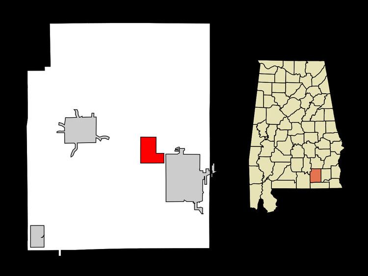
Map of New Brockton, AL 36351, USA
New Brockton is part of the Enterprise Micropolitan Statistical Area.
Geography
New Brockton is located east of the center of Coffee County at 31°22′52″N 85°55′28″W (31.381138, -85.924339). The city of Enterprise is directly to the southeast.
According to the U.S. Census Bureau, New Brockton has a total area of 8.0 square miles (20.7 km2), of which 0.02 square miles (0.04 km2), or 0.17%, is water.
2010
As of the census of 2010, there were 1,146 people, 469 households, and 327 families residing in the town. The population density was 143 people per square mile (55.4/km²). There were 561 housing units at an average density of 70.1 per square mile (27.1/km²). The racial makeup of the town was 70.1% White, 21.0% Black or African American, 5.5% Native American, 0.2% from other races, and 2.7% from two or more races. 2.5% of the population were Hispanic or Latino of any race.
There were 469 households out of which 27.3% had children under the age of 18 living with them, 50.3% were married couples living together, 15.6% had a female householder with no husband present, and 30.3% were non-families. 27.7% of all households were made up of individuals and 10.9% had someone living alone who was 65 years of age or older. The average household size was 2.44 and the average family size was 2.97.
In the town, the population was spread out with 23.2% under the age of 18, 8.5% from 18 to 24, 26.4% from 25 to 44, 26.8% from 45 to 64, and 15.2% who were 65 years of age or older. The median age was 38.5 years. For every 100 females there were 92.3 males. For every 100 females age 18 and over, there were 89.3 males.
The median income for a household in the town was $33,125, and the median income for a family was $38,300. Males had a median income of $36,500 versus $18,594 for females.
2000
As of the census of 2000, there were 1,250 people, 465 households, and 336 families residing in the town. The population density was 156.5 people per square mile (60.4/km²). There were 555 housing units at an average density of 69.5 per square mile (26.8/km²). The racial makeup of the town was 67.36% White, 26.64% Black or African American, 2.80% Native American, 0.24% from other races, and 2.96% from two or more races. 0.72% of the population were Hispanic or Latino of any race.
There were 465 households out of which 29.2% had children under the age of 18 living with them, 52.9% were married couples living together, 16.6% had a female householder with no husband present, and 27.7% were non-families. 26.0% of all households were made up of individuals and 14.0% had someone living alone who was 65 years of age or older. The average household size was 2.46 and the average family size was 2.95.
In the town, the population was spread out with 22.0% under the age of 18, 10.6% from 18 to 24, 26.6% from 25 to 44, 24.9% from 45 to 64, and 15.8% who were 65 years of age or older. The median age was 38 years. For every 100 females there were 101.6 males. For every 100 females age 18 and over, there were 103.1 males.
The median income for a household in the town was $24,032, and the median income for a family was $26,914. Males had a median income of $26,711 versus $20,417 for females.