
 | ||
New Bridge Road (Chinese: 新桥路; pinyin: Xīnqiáo Lù; Malay: Jalan Jambatan Baharu) is a one-way road located within the Central Area in Singapore.
Contents
Map of New Bridge Rd, Singapore
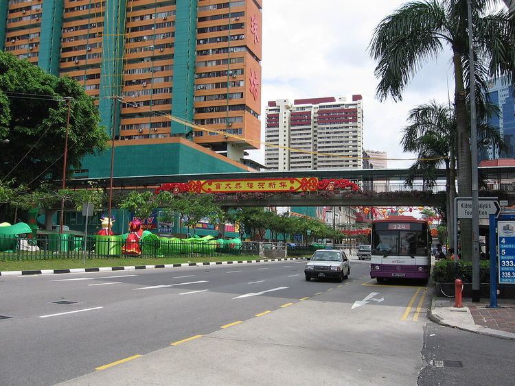
New Bridge Road starts at the Coleman Bridge to the south of the Singapore River and extends into Chinatown within the Outram Planning Area, before joining with Eu Tong Sen Street and Kampong Bahru Road within the Bukit Merah Planning Area. The road runs parallel to Eu Tong Sen Street throughout its entire length, but in the opposite direction.
Etymology and history
New Bridge Road was built in 1842, after George Drumgoole Coleman's new bridge, Coleman Bridge, had been built in 1840 over the Singapore River. The bridge links Hill Street on the north bank of the Singapore River with New Bridge Road on the south bank of the river.
The Chinese used to call this road sin pa sat ma chu cheng in Hokkien, or "front of the new market police station" and ji ma lo, or "number two horse way". The Hokkiens also refer to it as gu chia chui, meaning "Kreta Ayer".
The fruit and vegetable trade found at New Bridge Road and Wayang Street (now a part of Eu Tong Sen Street) was dominated by the Teochews. The Teochews also dominated some sections of the inter-island boat trade, dealing especially with West Borneo and Siam where there were substantial Teochew trading communities. Hence many of the leading Teochew entrepot traders were located around the Singapore River, especially in New Bridge Road, north of Hong Lim Park, and its vicinity, namely the Upper Circular Road, Carpenter Street, Ellenborough Street and Hong Kong Street areas.