
 | ||
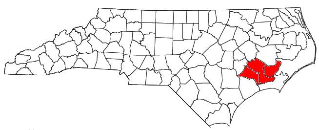
The New Bern Metropolitan Statistical Area, as defined by the United States Census Bureau, is an area consisting of three counties in the Inner Banks region of eastern North Carolina, anchored by the city of New Bern. The designation of the area was changed from Micropolitan to Metropolitan in 2013.
Contents
As of the 2000 census, the μSA had a population of 114,751 (though a July 1, 2009 estimate placed the population at 121,022).
Counties
Communities
Demographics
As of the census of 2000, there were 114,751 people, 43,821 households, and 31,724 families residing within the μSA. The racial makeup of the μSA was 69.49% White, 26.03% African American, 0.43% Native American, 0.85% Asian, 0.05% Pacific Islander, 1.64% from other races, and 1.51% from two or more races. Hispanic or Latino of any race were 3.60% of the population.
The median income for a household in the μSA was $33,644, and the median income for a family was $39,804. Males had a median income of $29,544 versus $20,764 for females. The per capita income for the μSA was $17,448.