
West end: Cherry Creek Length 13.2 km | East end: US 93 | |
 | ||
State Route 489 was a state highway that connected the near ghost town of Cherry Creek to U.S. Route 93 in White Pine County, Nevada. The roadway was turned over to local control in the 1990s.
Contents
Map of State Hwy 489, Ely, NV 89301, USA
Route description
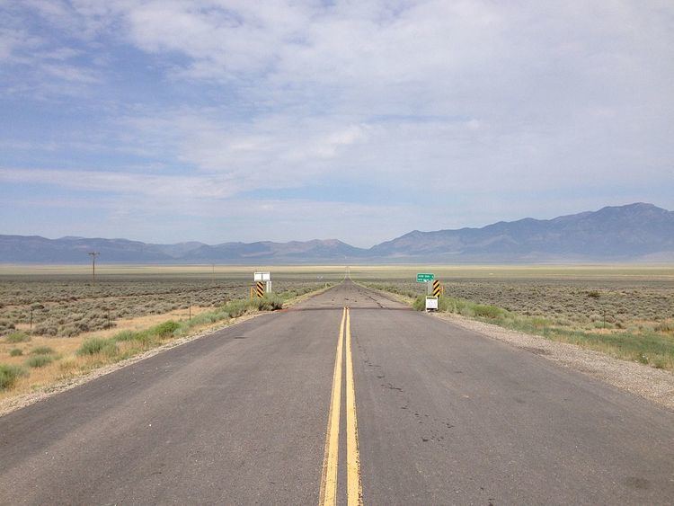
The SR 489 designation started at US 93. It went west across Steptoe Valley and ended at the end of pavement in Cherry Creek, which is now almost deserted but was once a thriving town because of silver and gold located in the area. Cherry Creek Road continues west, however the section west of Cherry Creek has never had a state route number.
History
Before the 1976 renumbering of Nevada's state routes, the road from US 93 to Cherry Creek was designated SR 35. The change to SR 489 was first seen on state highway maps in 1978. SR 489 remained unchanged on official maps until 1993, when the route number was removed from the state highway map. Both the paved and unpaved sections of Cherry Creek Road are now part of White Pine County Route 21.