
Existed: 1976 – present Constructed 1976 | Length 10.62 km Major cities Manhattan | |
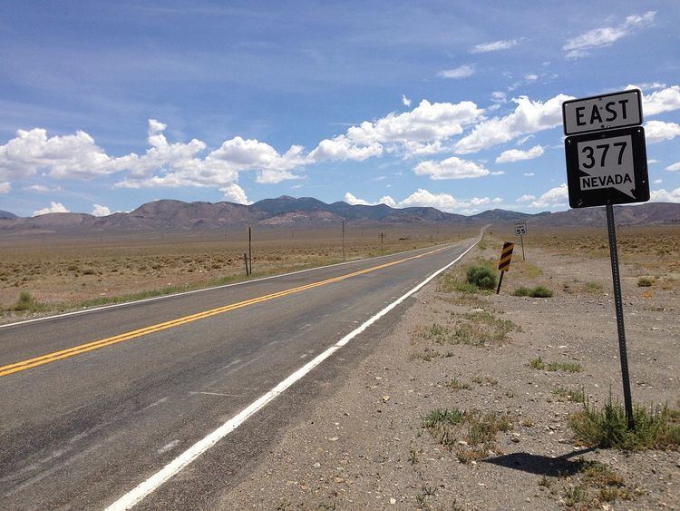 | ||
State Route 377 (SR 377) is a 6.6-mile (10.6 km) state highway in Nye County, Nevada, United States. The route connects the town of Manhattan to State Route 376. The highway previously existed as State Route 69.
Contents
Map of NV-377, Manhattan, NV 89022, USA
Route description
SR 377 begins at a junction with SR 376 in the center of the Big Smoky Valley in northwestern Nye County. The route heads southeasterly, passing through some mountains as it heads towards Manhattan. The highway comes to an end on Main Street in the middle of the town.
History
An unimproved road linking Manhattan westward to State Route 8A (now SR 376) existed as early as 1936. By 1942, this road was designated as State Route 69. The route was improved to a gravel surface by 1946, but would not actually be paved until 1976.
Shortly after paving, the highway was affected by the 1976 renumbering of Nevada's state highways. The SR 69 designation was eliminated and replaced by State Route 377 on July 1, 1976; Maps began to reflect this change in 1978.
Major intersections
The entire route is in Nye County.