
Existed: 1981 – present Constructed 1981 | Length 14.24 km | |
 | ||
South end: Pershing / Humboldt county line North end: I‑80 Bus. / SR 794 in Winnemucca | ||
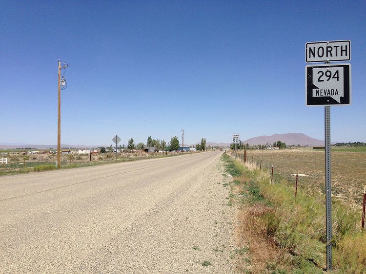
State Route 294 (SR 294) is a state highway in Humboldt County, Nevada. It connects Winnemucca to the Grass Valley area south of the town.
Contents
Map of NV-294, Winnemucca, NV 89445, USA
Route description
State Route 294 begins on Grass Valley Road at the Pershing–Humboldt county line. From there, the highway heads northward through the Grass Valley, passing through agricultural and rural residences of the greater Winnemucca area. After about 4 miles (6.4 km), the road turns more northeasterly to parallel the Union Pacific Railroad tracks.
Development gradually increases near the highway as it parallels the railroad into the city limits. At an intersection with Hanson Street (SR 787), the route changes names to Haskell Street. SR 294 continues northeastward through Winnemucca, passing more residential areas and a city park, to reach its terminus at East Winnemucca Boulevard (SR 794/I-80 Business).
History
SR 294 became a state highway on March 26, 1981.
Major intersections
The entire route is in Humboldt County.