
Existed: 1976 – present Constructed 1976 | Length 4.723 km | |
 | ||
North end: Oregon state line at Denio | ||
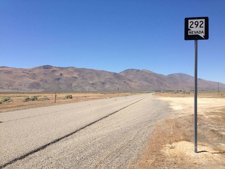
State Route 292 (SR 292) is a short state highway in Humboldt County, Nevada serving the town of Denio.
Contents
Map of NV-292, Denio, NV 89404, USA
Route description
State Route 292 begins in Denio Junction at an intersection with State Route 140. From there, the highway heads north a distance of nearly 3 miles (4.8 km) to serve the Denio community. The route ends at the Oregon state line, continuing northward into Oregon as Harney County Route 201, the Fields-Denio Road.
History
SR 292 was originally part of State Route 8A. That route, established by 1929, connected State Route 8 (now US 95) to Vya via Denio. SR 8A was realigned to bypass Denio by 1949, leaving the highway into Denio without a state highway number. The road was given the State Route 292 designation on July 1, 1976, in the renumbering of Nevada's state highway system. The new route number was not seen on official Nevada highway maps until 1993.
Major intersections
Mileposts on SR 292 are a continuation of State Route 140 mileposts.The entire route is in Humboldt County.