
Existed: 1976 – present Counties: Churchill Constructed 1976 | Length 43.37 km | |
 | ||
North end: Settlement Road in Dixie Valley | ||
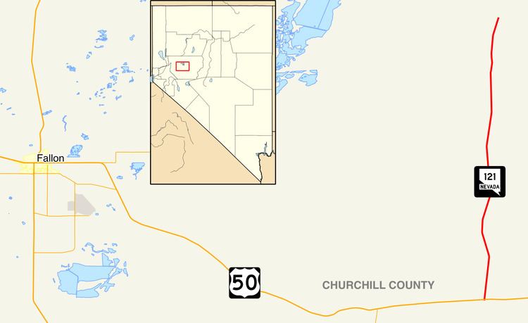
State Route 121 (SR 121) is a state highway in Churchill County, Nevada. It spurs from U.S. Route 50, east of Fallon, north 26.951 miles (43.373 km) to a local highway, Settlement Road in Dixie Valley, with the moniker of Dixie Valley Road. SR 121 was assigned in 1976.
Contents
Map of NV-121, Fallon, NV 89406, USA
Route description
State Route 121 begins at an intersection with U.S. Route 50 (the Austin Highway) to the east of the community of Fallon. Route 121 progresses northward through the United States Naval Recreation and Training Area just to the north of Route 50. The route progresses northward, through the mountains of Churchill County. The highway leaves the Recreation Area and continues its way to the community of Dixie Valley. The route continues northward for about 20 miles (32 km) and intersects with Settlement Road in Dixie Valley, where the state designation ends. Dixie Valley Road continues on as a gravel road.
Major intersections
The entire route is in Churchill County.