Settlements None | Ocean/sea source Southern Ocean | |
 | ||
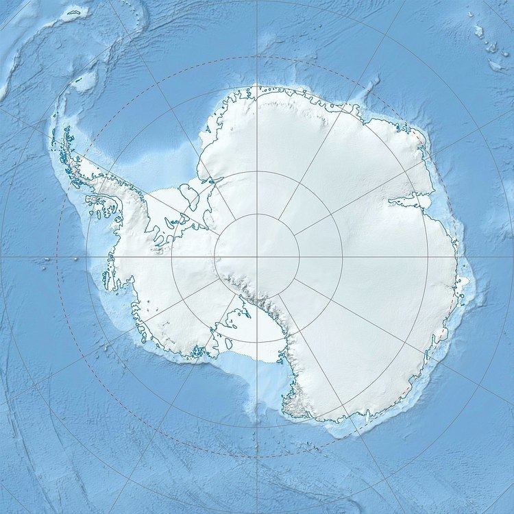
Neupokoyev Bight is a bight 30 nautical miles (60 km) wide, indenting the ice shelf that fringes the coast of Queen Maud Land about 20 nautical miles (37 km) northeast of Tsiolkovskiy Island. The feature was photographed from the air by Norwegian Antarctic Expedition in 1958-59 and roughly mapped from these photos. It was also mapped by Soviet Antarctic Expedition in 1961 and named for Konstantin Neupokoev (1884—1924), a naval officer, hydrographer and explorer of the Russian Hydrographic Service in Soviet times who worked in northern polar areas in the 1920s.
References
Neupokoyev Bight Wikipedia(Text) CC BY-SA
