Puneet Varma (Editor)

Neuilly Plaisance

Updated on
Edit
Like
Comment
Share on FacebookTweet on TwitterShare on LinkedInShare on Reddit
Country
  
France

Department
  
Seine-Saint-Denis

Population (2006)
  
20,354

Area
  
3.42 km²

Arrondissement
  
Le Raincy

Region
  
Île-de-France

Canton
  
Villemomble

Time zone
  
CET (UTC+1)

Local time
  
Friday 10:27 PM

Neuilly-Plaisance httpsuploadwikimediaorgwikipediacommonsthu

Weather
  
10°C, Wind NE at 16 km/h, 82% Humidity

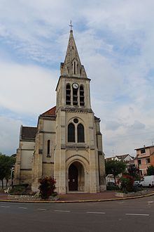
Neuilly-Plaisance is a commune in the eastern suburbs of Paris, France. It is located 11.8 km (7.3 mi) from the center of Paris.

Contents

Map of Neuilly-Plaisance, France

History

  • The commune of Neuilly-Plaisance was created on 13 April 1892 by detaching its territory from the commune of Neuilly-sur-Marne.
  • Here was the first community of Emmaus in 1949
  • Transport

    Neuilly-Plaisance is served by Neuilly-Plaisance station on Paris RER line .

    Education

    Schools:

  • Preschools/nurseries (maternelles): Bel Air, Paul Doumer, Foch, Léon Frapié, Paul Letombe, Victor Hugo
  • Elementary schools: Bel Air, Cahouettes, Centre, Edouard Herriot, Joffre, Victor Hugo
  • Junior high school: Collège Jean Moulin
  • References

    Neuilly-Plaisance Wikipedia