Time zone CET/CEST (UTC+1/+2) Area 19.58 km² Local time Friday 10:03 PM Dialling code 03342 | Elevation 58 m (190 ft) Postal codes 15366 Population 16,690 (31 Dec 2008) Postal code 15366 | |
 | ||
Weather 5°C, Wind N at 6 km/h, 62% Humidity | ||
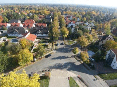
Neuenhagen bei Berlin is a municipality in the district Märkisch-Oderland of Brandenburg, Germany. It is situated 19 km east of Berlin (centre) and was founded around 1230.
Contents
- Map of Neuenhagen Germany
- History
- Geography
- Mayor
- Transport
- Twin towns
- Sons and daughters of the town
- People associated with the town
- References
Map of Neuenhagen, Germany
History
Neuenhagen bei Berlin was founded around 1230.
Geography
Neuenhagen bei Berlin is located next to Berlin in eastern Germany.
Mayor
The mayor Jürgen Henze was elected 2002 with 59,4 % of the vote, he was reelected in 2010 with 75,2 % of the vote for 8 more years.
Transport
The village is well connected to Berlin by the S-Bahn line S5 at the station of Neuenhagen.
Twin towns
Sons and daughters of the town
People associated with the town
References
Neuenhagen bei Berlin Wikipedia(Text) CC BY-SA
