
Population 20 (?) Postal code 3418 | Postcode(s) 3418 Local time Saturday 4:15 AM | |
 | ||
Location 406 km (252 mi) NW of Melbourne104 km (65 mi) NW of Horsham33 km (21 mi) N of Nhill Weather 21°C, Wind NE at 11 km/h, 59% Humidity | ||
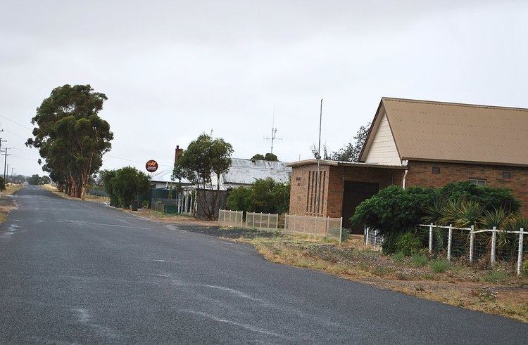
Netherby is a town in western Victoria, in Australia. The town is approximately 406 kilometres (252 mi) north west from Melbourne and has a population of just 20 people.
Contents
Map of Netherby VIC 3418, Australia
History
The town was originally known as Warraquil. It was renamed to Netherby in 1886 due to the towns first teacher getting confused and going to a town with a similar name (Warragul - 520 kilometres (320 mi) away). The town takes its name from the British full-rigged ship Netherby, 944 tons, which was wrecked on King Island in Bass Strait on 17 July 1866. The ship was carrying 52 crew and 452 emigrants to Brisbane, Queensland and all hands landed safely. After the castaways were rescued and taken to Melbourne, few elected to continue on to Queensland and many settled in the district of Victoria then being opened up that was named after their ship.
Netherby Post Office opened on 1 September 1886 and closed in 1975.