
Population (2006) 1,060 Local time Friday 3:17 PM | Canton Samer Area 5.04 km² | |
 | ||
Intercommunality Communauté d'agglomération du Boulonnais Weather 14°C, Wind NE at 23 km/h, 62% Humidity | ||
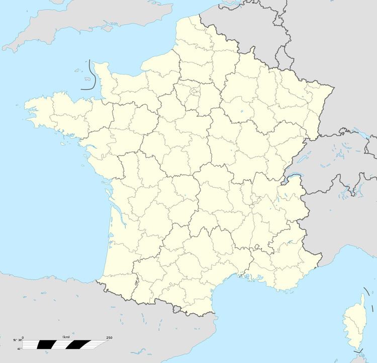
Nesles is a commune in the Pas-de-Calais department in the Hauts-de-France region of France.
Contents
Map of Nesles, France
Geography
Nesles is situated about 12 miles (19 km) south of Boulogne, at the junction of the D940 and D215 roads. The A16 autoroute straddles the middle of the commune's territory.
Places of interest
References
Nesles Wikipedia(Text) CC BY-SA