
Country India District Adilabad Vehicle registration TS-01 Elevation 422 m | State Telangana Time zone IST (UTC+5:30) Website telangana.gov.in Local time Friday 5:28 PM | |
 | ||
Weather 37°C, Wind W at 6 km/h, 20% Humidity | ||
Neradigonda or Neredikonda is a village and a Mandal in Adilabad district in the state of Telangana in India.
Contents
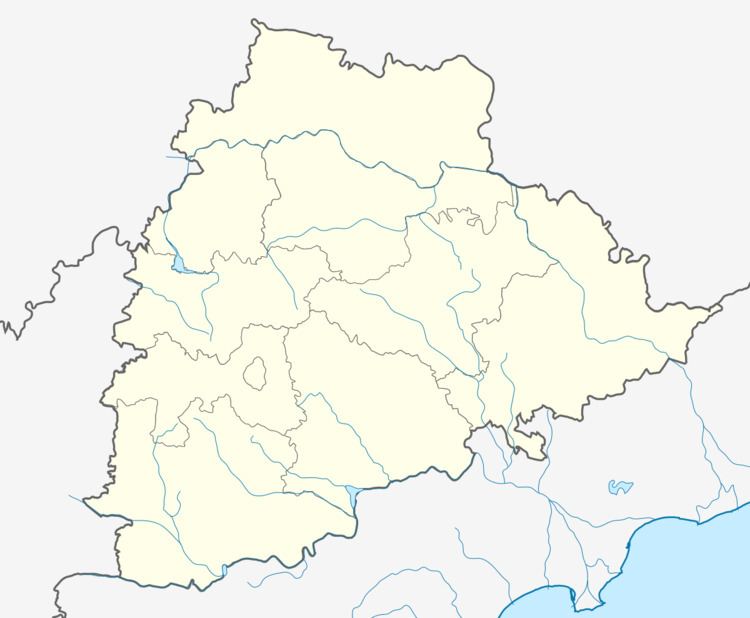
Map of Neredgonda, Telangana 504323
Geography
Neredikonda is located at 19.3000°N 78.4000°E / 19.3000; 78.4000. It has an average elevation of 422 meters (1387 feet).
Demographics
According to Indian census, 2001, the demographic details of Neradigonda manal is as follows:
Neradigonda village has a population of 3,023 in 2001.
Features
Near Neradigonda are waterfalls Kuntala and Pochara; Kuntala is the highest waterfall in telangana, from Hyderabad 240 km to Neradigonda and Kuntal is 12 km from Neradigonda mandal.
The villages in Neradigonda mandal includes: Bondidi, Boregaom, Buggaram, Koratkal, Kumari, Neradigonda, Rajura, Rolmamda, Tarnam, Tejapur, Venkatapur, Waddur, Wagdhari and Wankidi
References
Neradigonda Wikipedia(Text) CC BY-SA