
District Chittor Time zone IST (UTC+5:30) | PIN 517194 | |
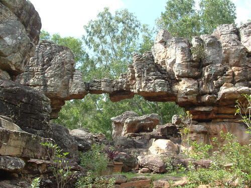 | ||
Nerabailu Village is a village in Yerravaripalem Mandal of Chittoor District. It is located 50 kilometres (31 mi) from Tirupathi, 220 kilometres (140 mi) from Chennai, and 105 kilometres (65 mi) from Chittoor and 250 kilometres (160 mi) from Banglore. It is located 10 kilometres (6.2 mi) from Talakona which is a very famous tourist destination. Nerabailu is surrounded by nearly 30-40 small villages and the people of those villages frequently travel to Bakarapeta town for trading their goods. Nerabailu has also got a Government High School and a Government Hospital. Most of the people in the surrounding villages are Farmers and the main crops they produce are Rice, Ground Nut, Tomato, Sugarcane & Mango.
Contents
Map of Nerabailu, Andhra Pradesh 517194
population
Tourism
Near by tourist spots Talakona, Nallamalla forest, Tirupati