
Time zone CST (UTC-6) Elevation 206 m Local time Thursday 11:30 PM | Established November 6, 1860 ZIP codes 62447, 62468, 62469 Area 143.7 km² Population 3,124 (2010) | |
 | ||
Weather 8°C, Wind SE at 21 km/h, 76% Humidity | ||
Neoga Township is one of eight townships in Cumberland County, Illinois, USA. As of the 2010 census, its population was 3,124 and it contained 1,371 housing units.
Contents
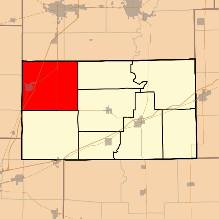
- Map of Neoga Township IL USA
- Geography
- Cities towns villages
- Unincorporated towns
- Cemeteries
- Major highways
- Airports and landing strips
- School districts
- Political districts
- References
Map of Neoga Township, IL, USA
Geography
According to the 2010 census, the township has a total area of 55.5 square miles (144 km2), of which 54.68 square miles (141.6 km2) (or 98.52%) is land and 0.81 square miles (2.1 km2) (or 1.46%) is water.
Cities, towns, villages
Unincorporated towns
Cemeteries
The township contains these eight cemeteries: Concord, Drummond, Illinois Central Railroad, Lockhart, Long Point, Neoga, Neoga Railroad Crossing and Zion.
Major highways
Airports and landing strips
School districts
Political districts
References
Neoga Township, Cumberland County, Illinois Wikipedia(Text) CC BY-SA