
 | ||
Buffalo consists of 32 different neighborhoods, over an area of 52 sq. mi The following is a list of neighborhoods defined by the University at Buffalo.
Contents
- Map of Buffalo NY USA
- Black Rock
- Delaware District
- Downtown
- Elmwood Strip
- Hamlin Park
- Lower West Side
- Parkside
- South Buffalo
- West Side
- References
Map of Buffalo, NY, USA
Black Rock
See also Market Square Historic District.
Delaware District
See also Delaware Avenue Historic District.
Downtown
See J.N. Adam-AM&A Historic District; Canalside District, Buffalo; Buffalo Theater District
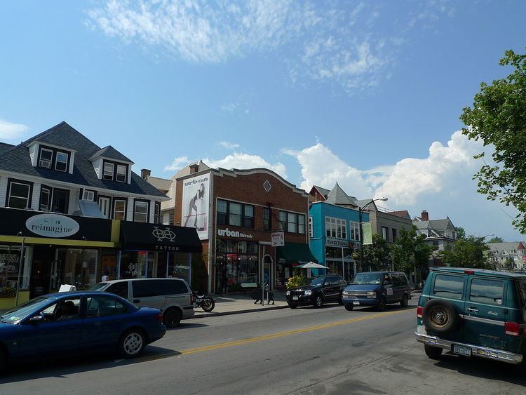
Elmwood Strip
The American Planning Association named the Elmwood Village neighborhood in Buffalo one of ten Great Neighborhoods in 2007. Elmwood Village is a pedestrian-oriented, mixed use neighborhood with hundreds of small, locally owned boutiques, shops, restaurants, and cafes. The neighborhood is located to the south of Buffalo State College.
See also Elmwood Historic District–West.
Hamlin Park
The Hamlin Park Historic District was listed on the National Register of Historic Places in 2013.
Lower West Side
See West Village Historic District.
Parkside
See Parkside East Historic District and Parkside West Historic District.
South Buffalo
South Buffalo, which was split by the construction of Interstate 190 during the 1950s, is troubled by the presence of a concrete crushing facility which is grandfathered in as a pre-existing use, while dust and truck traffic from the facility strongly affect residences in the neighborhood.
West Side
,
See also Fargo Estate Historic District, West Village Historic District.