
Max depth 1 m | Primary outflows Indian Ocean Area 35.02 km² | |
 | ||
Primary inflows Surface area 35.02 square kilometres (13.52 sq mi) Similar Angurukaramulla Temple, Lagoon, Beira Lake, Galle Fort, St Mary’s Church - Negombo | ||
Negombo lagoon trip
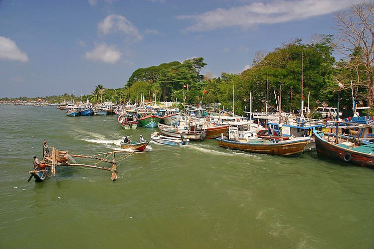
Negombo Lagoon is a large estuarine lagoon in Negombo, south-west Sri Lanka.
Contents
Map of Negombo Lagoon, Sri Lanka
The lagoon is fed by a number of small rivers and a canal. It is linked to the sea by a narrow channel to the north, near Negombo city. It is surrounded by a densely populated region containing rice paddies, coconut plantations and grassland. The land is used for fishing and agriculture. The lagoon has extensive mangrove swamps and attracts a wide variety of water birds including cormorants, herons, egrets, gulls, terns and other shorebirds. Negombo, Katunayake, Seeduwa are some nearby towns.
Sri lankan jet ski rides negombo lagoon
References
Negombo Lagoon Wikipedia(Text) CC BY-SA