
Country India District Kancheepuram Time zone IST (UTC+5:30) Local time Thursday 4:55 PM | Vehicle registration TN-14 Population 15,688 (2001) | |
 | ||
Weather 31°C, Wind E at 11 km/h, 58% Humidity | ||
Tn elections 2016 actor vijay casts vote in neelankarai chennai
Neelangarai is a census town and is a locality in the south of Chennai. it is situated in Kancheepuram district in the Indian state of Tamil Nadu about seven kilometers south of Adyar, Chennai. The name of Neelankarai Neelam + Karai means Blue Shore! , the former name of the city was Thiruneelakandapuram named after the Thiruneelakandeshwarar temple. Neelankarai is located with Palavakkam in the North, Vettuvankeni in the South and the Bay of Bengal in the East. Over the years Neelankarai has developed tremendously and has made a significant name for itself in popularity for various reasons.
Contents
- Tn elections 2016 actor vijay casts vote in neelankarai chennai
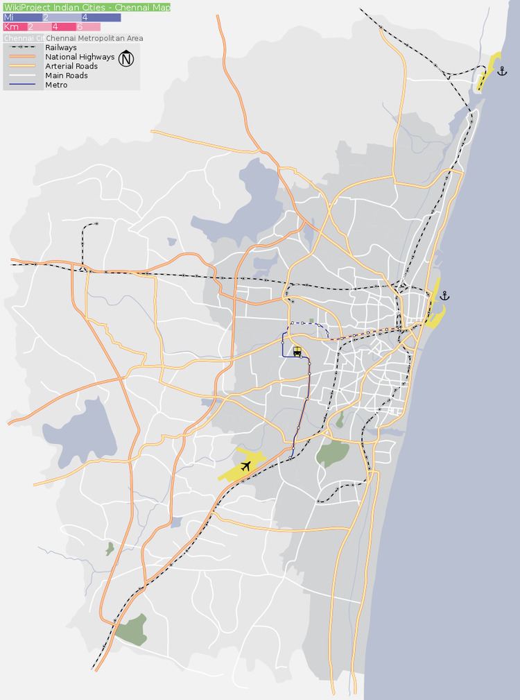
- Map of Neelankarai Chennai Tamil Nadu
- Demographics
- Schools
- References
Map of Neelankarai, Chennai, Tamil Nadu
Demographics
As of 2001 India census, Neelangkarai had a population of 15,688. Males constitute 52% of the population and females 48%. Neelangkarai has an average literacy rate of 70%, higher than the national average of 59.5%: male literacy is 77%, and female literacy is 63%. In Neelangkarai, 11% of the population is under 6 years of age.
Neelangarai consists of areas like Workers Estate, Raja Nagar, Singaravelan Salai, Pandiyan Nagar, Kabaleeshwarar Nagar, Marakayar Nagar, Causarina drive, Periya Neelangarai Kuppam, Chinna Neelangarai Kuppam,Sunrise avenue, Vaithiyalingam salai, C.L.R.I Nagar etc.. Neelangarai comes under South Chennai parliamentary constitution and Sholinganallur legislative constitution (MLA).
Schools
GT Aloha Vidhya Mandir