
Admin. region Karlsruhe Elevation 148 m (486 ft) Local time Thursday 9:45 AM Dialling code 06261 Team SpVgg Neckarelz | Time zone CET/CEST (UTC+1/+2) Postal code 74821 | |
 | ||
Weather 9°C, Wind E at 11 km/h, 82% Humidity | ||
Spvgg neckarelz sv waldhof mannheim 07
Neckarelz is a suburb of Mosbach in Baden-Württemberg, Germany.
Contents
- Spvgg neckarelz sv waldhof mannheim 07
- Map of Neckarelz 74821 Mosbach Germany
- Neckarelz mosbach diedesheim brd deutschland 23 10 2015
- Geography
- History
- Religion
- Demographics
- Coat of arms
- Education
- Transport
- References
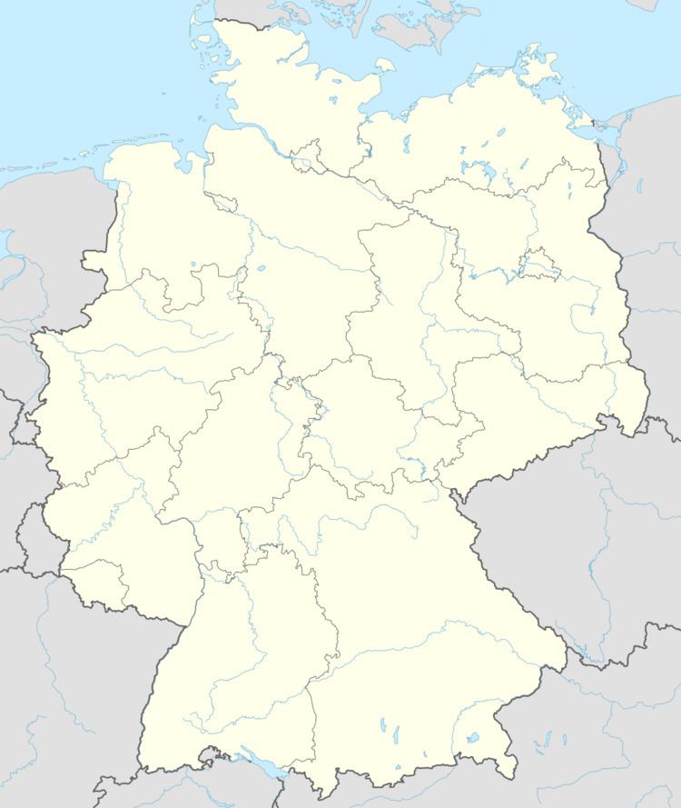
Map of Neckarelz, 74821 Mosbach, Germany
Neckarelz mosbach diedesheim brd deutschland 23 10 2015
Geography
Neckarelz is in northern Baden-Württemberg, between the Odenwald and Kraichgau, at the confluence of the Neckar and Elz rivers. On the other side of the Neckar, are the towns of Hochhausen and Obrigheim. Next to Neckarelz, is the suburb of Diedesheim.
History
The town was part of the Electorate of the Palatinate from around 1362.
From 1944 to 1945, there was an annex or subcamp of Natzweiler-Struthof concentration camp in Neckarelz, with the prisoners barracked in the school. The factory in Obrigheim which produced bomber engines used nearly ten thousand prisoners, of whom about half came from the concentration camp. In April 1945, 900 of them were rescued.
Religion
Until World War II, Neckarelz was almost completely Protestant. After the arrival of Catholic refugees, a new church was built.
Demographics
Neckarelz is the largest suburb of Mosbach, with approximately 6,500 inhabitants.
Coat of arms
This depicts the rhombuses of the Electorate of the Palatinate at the top and a fish below.
Education
Neckarelz has several kindergartens, a primary school (named after Clemens Brentano), and a grammar and Hauptschule, (both named after Auguste Pattberg).
Transport
Neckarelz has a train station, connecting to the Neckar Valley Railway and the line to Osterburken, and a harbour.