
Country United States County Greenwood ZIP codes 66863 | State Kansas Time zone Central (CST) (UTC-6) Local time Thursday 12:03 AM | |
 | ||
Weather 13°C, Wind SE at 18 km/h, 54% Humidity | ||
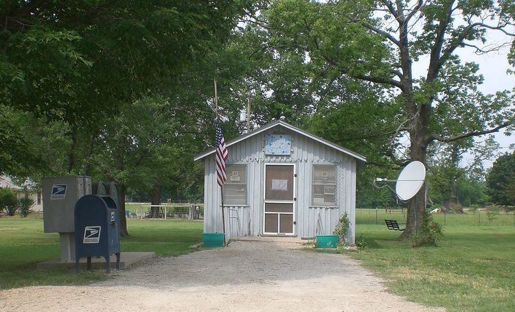
Neal is an unincorporated community in eastern Greenwood County, Kansas, United States. It lies along U.S. Route 54 east of the city of Eureka, the county seat of Greenwood County. Its elevation is 961 feet (293 m), and it is located at 37°50′3″N 96°4′49″W (37.8341990, -96.0802724). Although Neal is unincorporated, it has a post office, with the ZIP code of 66863. The first post office in Neal was established in 1882.
Map of Neal, KS, USA
Neal was named for a minor official of the Missouri Pacific Railroad.
References
Neal, Kansas Wikipedia(Text) CC BY-SA