
 | ||
Nazko
Nazko is a small ranching and logging community, including an historic First Nations community located 100 km west of Quesnel on the Nazko River in the Central Interior of British Columbia, Canada. Nazko means, "river flowing from the south".
Contents
Map of Nazko, BC, Canada
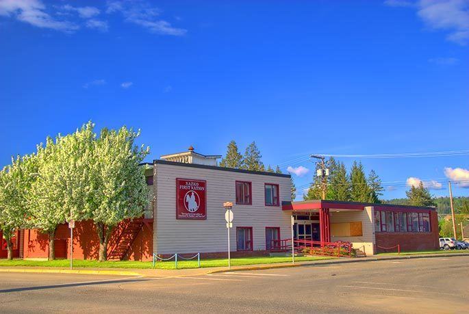
Nazko is the gateway to the Nuxalk Carrier Grease-Alexander Mackenzie Heritage Trail. It has a sizeable Indian reserve, home to the Nazko First Nation, and is well known in ranching history.
The first schools were built in 1950 by the ranchers and homesteaders and in 1960 by the government of Canada. In 1984 BC Hydro brought electricity to the area and the following year the road from Quesnel to Nazko was paved.
Nazko is not far from the Nazko Cone which last erupted 7,200 years ago. From 2007 to 2008, a swarm of earthquakes occurred just 30 km (19 mi) west of Nazko Cone.
Population: est. 200
Location
Nazko is in the Electoral District Cariboo North. The Central Interior. 112 km west of Quesnel BC