
Country India Lok Sabha constituency Darjeeling Area 181.5 km² | Time zone IST (UTC+5:30) Population 165,523 (2011) | |
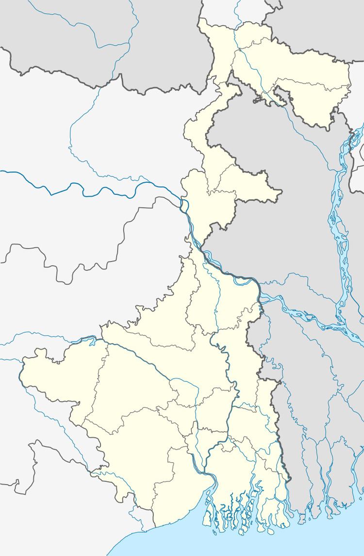 | ||
Naxalbari (community development block) is an administrative division in Siliguri subdivision of Darjeeling district in the Indian state of West Bengal. Naxalbari police station serves this block. Headquarters of this block is at Naxalbari. There is one census town in this block:Uttar Bagdogra, It is on the border with Nepal, where Mahendra Highway across that country from east to west begins and has a checkpoint for customs as well as for third country nationals.
Contents
Geography
Naxalbari is located at 26.68°N 88.22°E / 26.68; 88.22. It has an average elevation of 152 metres (501 feet).
Naxalbari community development block has an area of 181.51 km2.
Administration
Naxalbari block consists of one census town: Uttar Bagdogra and rural areas with 6 gram panchayats, viz. Gossaipur, Lower Bagdogra, Nakshalbari, Hatighisa, Maniram and Upper Bagdogra. This block has two police stations: Bagdogra and Naxalbari. The headquarters of this block is in Naxalbari.
Demographics
As per 2011 Census of India Naxalbari CD Block had a total population of 165,523 of which 97,717 were rural and 67,806 were urban. There were 85,054 males and 80,469 females. Scheduled Castes numbered 44,328 and Scheduled Tribes numbered 32,388.
Literacy
As per 2011 census the total number of literates in Naxalbari CD Block was 110,663 out of which 62,270 were males and 48,393 were females.