
Local time Wednesday 4:26 PM | Elevation 82 m | |
 | ||
Weather 12°C, Wind NW at 23 km/h, 68% Humidity | ||
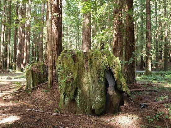
Navarro (formerly known as Wendling) is an unincorporated community in Mendocino County, in the U.S. state of California. It is located 18 miles (29 km) west of Ukiah, at an elevation of 269 feet (82 m). It may be reached via California State Route 128, which connects it to the Pacific coast to the west and to the Anderson Valley to the southeast.
Map of Navarro, CA, USA
A former town of approximately 1000 people named Navarro was founded in the 1860s, located approximately 14 miles to the west of the present town, at the mouth of the Navarro River in what is now Navarro River Redwoods State Park. A post office opened there in 1867. In 1902, the mill at the mouth of the river burned down, and the post office closed. A new mill was built in that year by G. C. Wendling on the north fork of the Navarro River, at the present location of Navarro, and in 1905 the town of Wendling was founded around the mill; a post office was opened there in 1914. However, in 1916 the Wendling mill was bought by the Navarro Lumber Company, at which point Wendling became known as Navarro Mill or more simply Navarro. To reduce confusion, the dwindling seaside town of Navarro became known as Old Navarro, Navarro Ridge, or Navarro-by-the-sea.
The Fort Bragg and Southeastern Railroad connected Wendling (or as it later became called, Navarro) with seaport facilities at Albion, California from 1905 to 1930.