
Telephone code 08380 Elevation 578 m Local time Thursday 4:33 AM | Time zone IST (UTC+5:30) Vehicle registration KA-25,KA-63 Population 24,613 (2011) Area code 08380 | |
 | ||
Weather 25°C, Wind SE at 3 km/h, 46% Humidity | ||
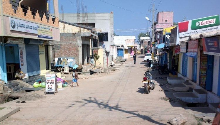
Navalgund or Navalagunda is a panchayat town in Dharwad district in the Indian state of Karnataka. Navalagunda or Navilagunda means hill of peacocks. Navalagundais famous for Navalagunda durries. Navalagunda durries has been accorded Geographical Indication (GI) tag. Its GI tag number is 51.
Contents
Map of Navalgund, Karnataka 582208
Geography
Navalgund is located at 15.57°N 75.37°E / 15.57; 75.37. It has an average elevation of 578 metres (1896 feet). It is situated 35 km from Hubli and is famous as birth place of 'jamkhanas', the floor covering woven using cotton ropes or carpet. & famous for holi festival world famous ramling kamannna & famous naglinga swamy temple as well famous for nilamma tank
Annigeri, Alagavadi, Morab, and Shalavadi are the main villages.
Bennihalla is the main stream flows through Navalgund.
Holy place near to Navalagund is Yemanur.
Education
Demographics
As of 2001 India census, Navalgund had a population of 22,200. Males constitute 51% of the population and females 49%. Navalgund has an average literacy rate of 59%, lower than the national average of 59.5%: male literacy is 68%, and female literacy is 50%. In Navalgund, 14% of the population is under 6 years of age.