
Established November 6, 1849 GNIS feature ID 0429422 Area 16.47 km² Local time Wednesday 4:16 PM | Time zone CST (UTC-6) Elevation 189 m Zip code 62354 Population 1,156 (2010) | |
 | ||
Weather 9°C, Wind E at 18 km/h, 29% Humidity Points of interest | ||
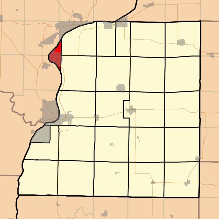
Nauvoo Township is one of twenty-five townships in Hancock County, Illinois, USA. At the 2010 census, its population was 1,156 and it contained 693 housing units.
Contents
- Map of Nauvoo Township IL 62354 USA
- Geography
- Cities towns villages
- Extinct towns
- Cemeteries
- Major highways
- Landmarks
- School districts
- Political districts
- References
Map of Nauvoo Township, IL 62354, USA
Geography
According to the 2010 census, the township has a total area of 6.36 square miles (16.5 km2), of which 3.9 square miles (10 km2) (or 61.32%) is land and 2.46 square miles (6.4 km2) (or 38.68%) is water.
Cities, towns, villages
Extinct towns
(These towns are listed as "historical" by the USGS.)
Cemeteries
The township contains two cemeteries, Dundey and Smith Family.
Major highways
Landmarks
School districts
Political districts
References
Nauvoo Township, Hancock County, Illinois Wikipedia(Text) CC BY-SA