
Rural localities 29 Founded 1935 | rural administration 14 Area 2,205 km² | |
 | ||
Municipally incorporated as | ||
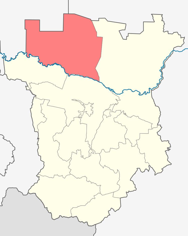
Naursky District (Russian: Нау́рский райо́н; Chechen: Нӏовран кӏошт) is an administrative and municipal district (raion), one of the fifteen in the Chechen Republic, Russia. It is located in the northwest of the republic. The area of the district is 2,225 square kilometers (859 sq mi). Its administrative center is the rural locality (a stanitsa) of Naurskaya. Population: 54,752 (2010 Census); 51,143 (2002 Census); 46,360 (1989 Census). The population of Naurskaya accounts for 16.5% of the district's total population.
Contents
Map of Naursky District, Chechnya, Russia
History
In the second half of the 18th century, the area was settled by the Russian and Ukrainian Cossacks. Several stanitsas were founded. In 1771, after being wounded at the siege of Bender, the future Cossack insurgency leader Yemelyan Pugachev came to live at Ishcherskaya with his family.
The modern district was created in 1935 by the order of the Supreme Soviet. It was a part of Stavropol Krai prior to 1944 when it was transferred to newly created Grozny Oblast. After the Chechens were allowed to return in 1957, the district remained a part of the restored Chechen-Ingush ASSR.
Economy
Its agriculture is dominated by livestock breeding, especially in the north of the district (often subject to field erosion, caused by severe climactic circumstances), but there are vineyards in the south.