
Time zone CET/CEST (UTC+1/+2) Area 12.77 km² Postal code 06918 Dialling code 035387 | Elevation 99 m (325 ft) Postal codes 06918 Local time Wednesday 9:24 PM | |
 | ||
Weather 7°C, Wind E at 11 km/h, 67% Humidity | ||
Naundorf bei Seyda is a village and a former municipality in the district of Wittenberg, in Saxony-Anhalt, Germany. Since 1 January 2010, it is part of the town Jessen.
Contents
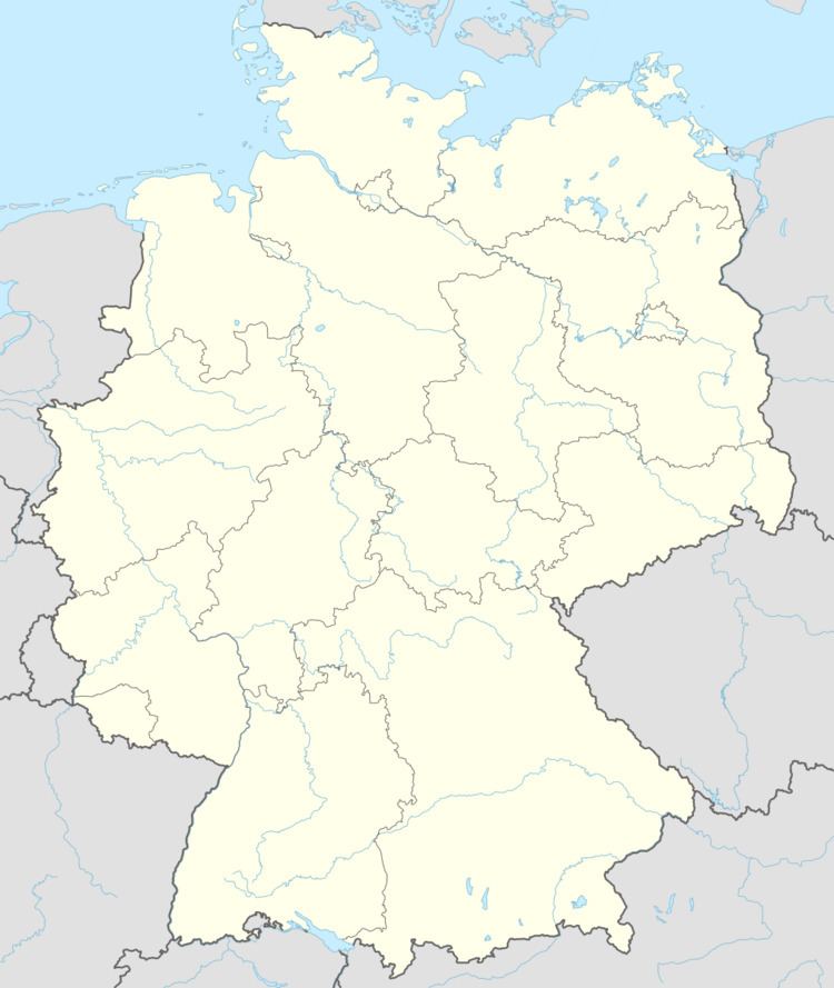
- Map of 06917 Naundorf bei Seyda Germany
- Geography
- Subdivisions
- History
- Economy and transportation
- References
Map of 06917 Naundorf bei Seyda, Germany
Geography
Naundorf bei Seyda lies about 17 km northeast of Lutherstadt Wittenberg in the Fläming.
Subdivisions
Naundorf bei Seyda has one of these: Friedersdorf
History
The community had its first documentary mention in 1459.
Economy and transportation
Federal Highway (Bundesstraße) B 2 between Berlin and Wittenberg lies 12 km west of the community.
References
Naundorf bei Seyda Wikipedia(Text) CC BY-SA