
Topo map USGS Ahern Pass, MT First ascent 1964 | Elevation 2,888 m Prominence 182 m | |
 | ||
Similar Mount Merritt, Stoney Indian Peaks, Mount Henkel, Cathedral Peak, Iceberg Peak | ||
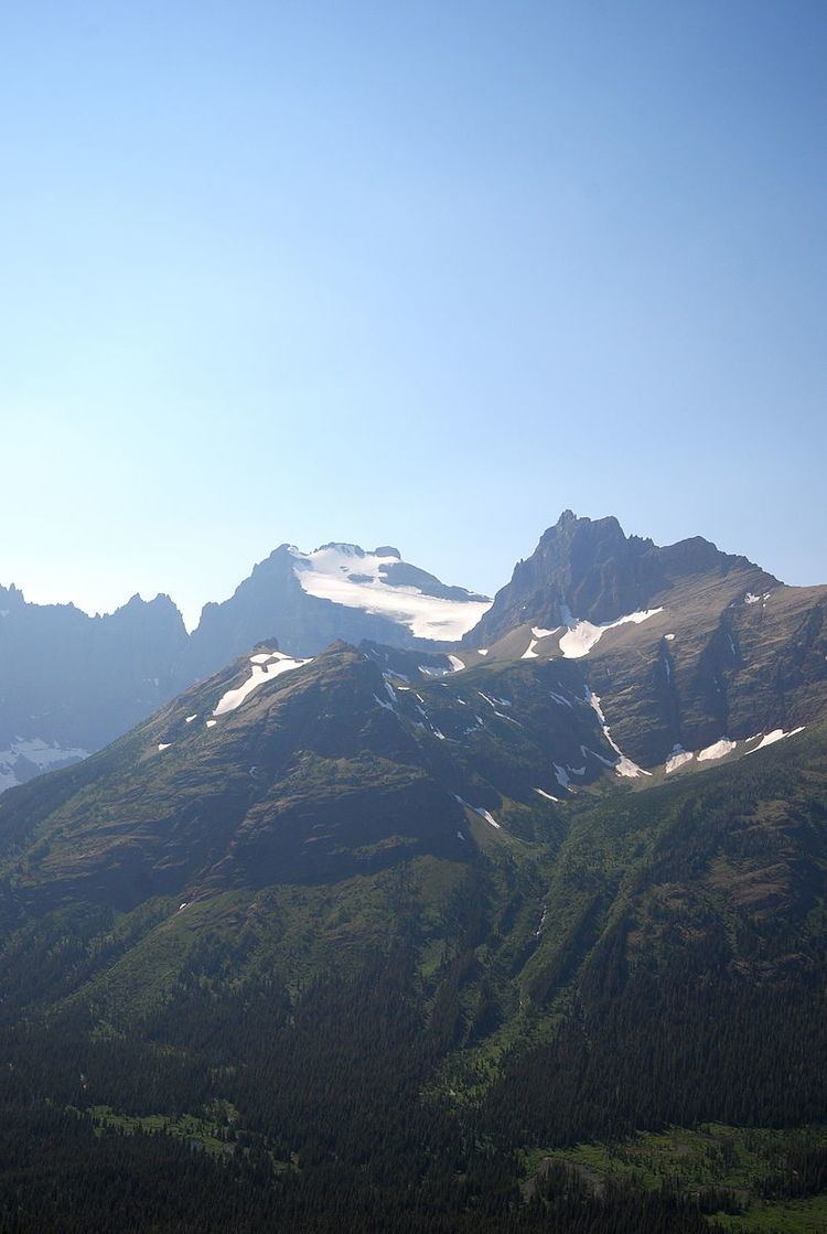
Natoas Peak (9,476 feet (2,888 m)) is located in the Lewis Range, Glacier National Park in the U.S. state of Montana. Natoas Peak is 1.10 miles (1.77 km) northeast of Mount Merritt.
Map of Natoas Peak, Montana 59417, USA
First ascent by Bruce Murphy and Bill Mathews, August 1964.
References
Natoas Peak Wikipedia(Text) CC BY-SA