
Topo map USGS Ahern Pass, MT Elevation 3,049 m | Prominence 885 m | |
 | ||
Similar Mount Cleveland, Allen Mountain, Iceberg Peak, Mount Logan, Mount Stimson | ||
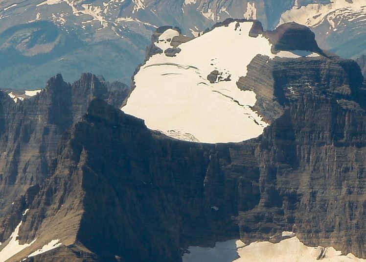
Mount Merritt (10,004 feet (3,049 m)) is located in the Lewis Range, Glacier National Park in the U.S. state of Montana. The peak is one of six in Glacier National Park that rise over 10,000 feet (3,048 m). Located in the northeastern part of the park, Mount Merritt rises dramatically a vertical mile above nearby rivers. The approach to this remote peak involves a one way hike of 13 miles (21 km) to the summit base. Near the summit, the Old Sun Glacier hangs along the east ridge. The summit is named for General Wesley Merritt in 1891 by members of Troop C, 1st Cavalry who were visiting the region while stationed at Fort Assiniboine.
Map of Mt Merritt, Montana 59417, USA
References
Mount Merritt Wikipedia(Text) CC BY-SA