
Length 241 km | ||
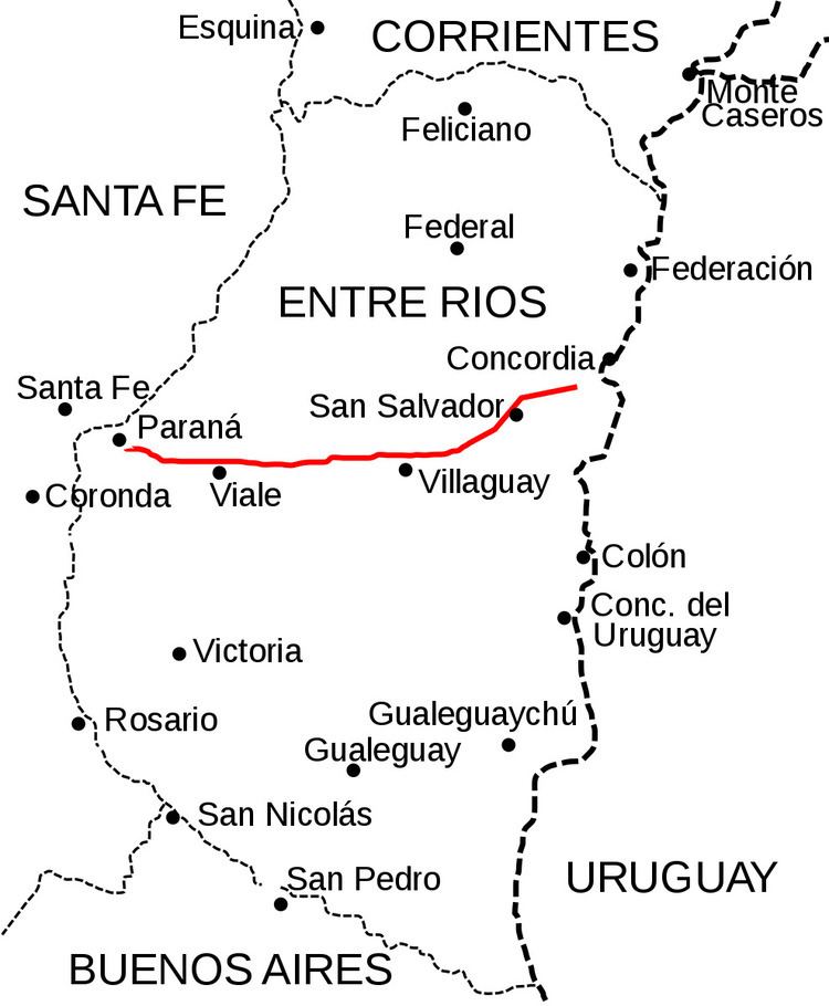 | ||
National Route 18 is an Argentine highway in the center of Entre Rios Province, connecting the east to the west. It is 241 km (150 mi) long, and is paved from the junction with National Route 14 at km marker 240 to the National Route 12 at km marker 421.
Contents
Map of RN18, Entre R%C3%ADos, Argentina
Towns
References
National Route 18 (Argentina) Wikipedia(Text) CC BY-SA