
Length 125 km | ||
 | ||
Primarydestinations: Palakkad - Malappuram- Ramanattukara | ||
National Highway 966 (NH 966) is a highway which connects Palakkad, Malappuram and Kozhikode district headquarters in Kerala. It was previously known as NH 213. It covers a distance of 125 km. At Ramanattukara, near Kozhikode, it joins NH 66. At Palakkad it joins NH 544, which connects Coimbatore and Cochin through Palakkad.
Contents
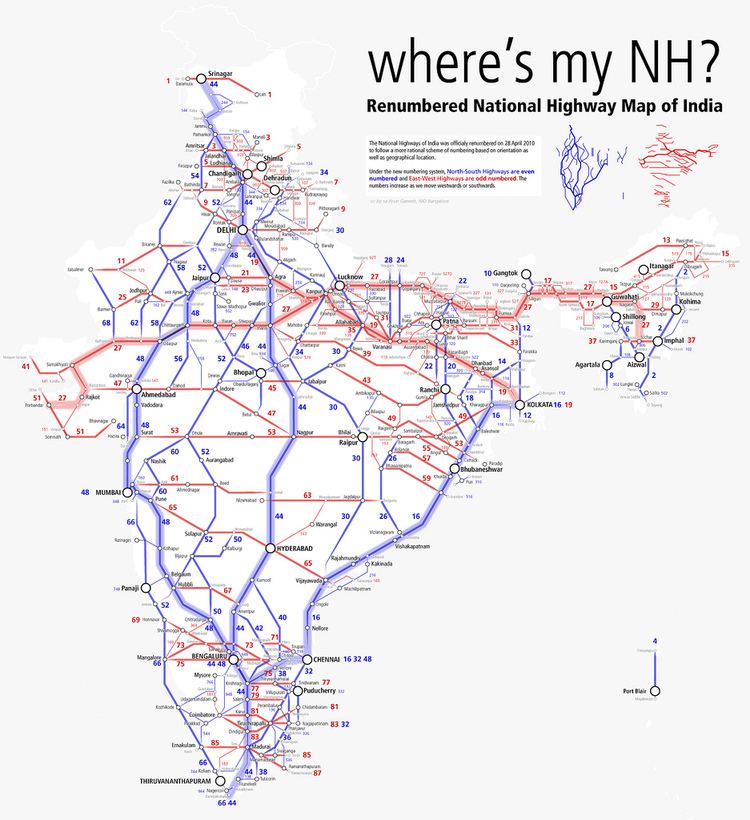
Map of NH966, Kerala
Major cities and linking Towns
References
National Highway 966 (India) Wikipedia(Text) CC BY-SA