
West end: Meiktila | East end: Tachileik | |
 | ||
Major cities Kengtung, Taunggyi, Kalaw, Thazi, Meiktila, Mandalay Region | ||
National Highway 4 is an important west-east flowing highway of central Burma. It connects the town of Meiktila in the Mandalay Region to Tachileik in Shan State in the east on the border with Thailand. The highway begins near Meiktila at 20°52′22″N 95°52′59″E where it is linked by the National Highway 1 coming from the south and at Hopong it meets the National Highway 5 which goes south at 20°48′2″N 97°10′25″E.
Map of National Hwy 4, Myanmar (Burma)
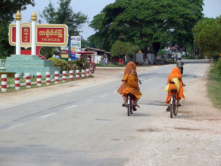
The highway ends at Tachileik at 20°26′40″N 99°52′50″E.
References
National Highway 4 (Myanmar) Wikipedia(Text) CC BY-SA